Dial Chiles Carter Cemetery
Bug Tussle, Fannin County, Texas, USA
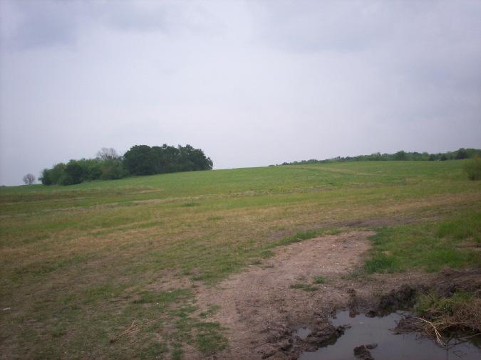
Dial Chiles Carter Cemetery is an African-American cemetery located on a slight hill in a grove of trees on private property.
Though there are a few "Dial" cemeteries in Fannin County; it most likely a burial place for an African American burial are in Dial Chiles Carter Cemetery.
The cemetery covers about 2 acres with a few readable stones, 3 other stones without engraving, and a funeral home marker with no information on it. It is apparent there are many unmarked graves since the burials are well scattered in the woods.
Directions To The Cemetery: From the intersection of State Highway 56 and 34 in Honey Grove proceed south in State Highway 34 for 7.2 miles to Farm Road 1550 in Bugtussle.
Bugtussle is situated at the junction of State Highway 34 and Farm Road 1550, five miles north of Ladonia and 10 miles south of Honey Grove.
Turn left/east on Farm Road 1550 and proceed approx. 3.4 miles to the cemetery sign on the south side of the road and a gate is on the north. The cemetery is located about 350 yards north of Farm Road 1550.
Nearby cemeteries

Dial, Fannin County, Texas, USA
- Total memorials305
- Percent photographed88%
- Percent with GPS1%
Dial, Fannin County, Texas, USA
- Total memorials22
- Percent photographed68%
- Percent with GPS0%

Fannin County, Texas, USA
- Total memorials33
- Percent photographed70%
- Percent with GPS0%
- Added: 9 Mar 2014
- Find a Grave Cemetery ID: 2532985

Cemetery Photos
This is a carousel with slides. Use Next and Previous buttons to navigate, or jump to a slide with the slide dots. Use Escape keyboard button or the Close button to close the carousel.
Success
Uploading...
Waiting...
Failed
This photo was not uploaded because this cemetery already has 20 photos
This photo was not uploaded because you have already uploaded 5 photos to this cemetery
This photo was not uploaded because you have already uploaded 5 photos to this cemetery
Invalid File Type
Birth and death years unknown.
1 photo picked...
2 photos picked...
Uploading 1 Photo
Uploading 2 Photos
1 Photo Uploaded
2 Photos Uploaded
Size exceeded
Too many photos have been uploaded
"Unsupported file type"
• ##count## of 0 memorials with GPS displayed. Double click on map to view more.No cemeteries found