Hill - Dr. Vernon Hill Farm Graves
Asher, Madison County, Arkansas, USA
From Wesley, go two miles east on Highway 74; turn south on Highway 303 (which changes to County Road 5205 after two miles). Continue on 303/5205 for 6.5 miles. You will see six chicken houses on the left side of the road (which are being used for hay storage) and four red metal chicken houses on the right side of the road. The graves are located just inside the fence on the right, under two large oak trees, just past these chicken houses. You can see one upright fieldstone marker from the County Road. In October 2011, we counted at least 4-6 fieldstone marked graves at this location, one of which was that of an infant marked with stone at head and foot of grave.
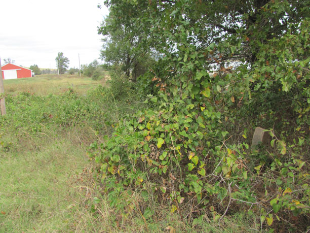
The picture shown here, was taken from inside the fence in the field where the graves are located. The County Road is located just to the right of the large tree shown in the photo.
From Wesley, go two miles east on Highway 74; turn south on Highway 303 (which changes to County Road 5205 after two miles). Continue on 303/5205 for 6.5 miles. You will see six chicken houses on the left side of the road (which are being used for hay storage) and four red metal chicken houses on the right side of the road. The graves are located just inside the fence on the right, under two large oak trees, just past these chicken houses. You can see one upright fieldstone marker from the County Road. In October 2011, we counted at least 4-6 fieldstone marked graves at this location, one of which was that of an infant marked with stone at head and foot of grave.
The picture shown here, was taken from inside the fence in the field where the graves are located. The County Road is located just to the right of the large tree shown in the photo.
Nearby cemeteries

Madison County, Arkansas, USA
- Total memorials103
- Percent photographed83%
- Percent with GPS1%

Asher, Madison County, Arkansas, USA
- Total memorials6
- Percent photographed100%
- Percent with GPS0%

Madison County, Arkansas, USA
- Total memorials212
- Percent photographed92%
- Percent with GPS0%
- Added: 25 Oct 2010
- Find a Grave Cemetery ID: 2375198

Cemetery Photos
This is a carousel with slides. Use Next and Previous buttons to navigate, or jump to a slide with the slide dots. Use Escape keyboard button or the Close button to close the carousel.
Success
Uploading...
Waiting...
Failed
This photo was not uploaded because this cemetery already has 20 photos
This photo was not uploaded because you have already uploaded 5 photos to this cemetery
This photo was not uploaded because you have already uploaded 5 photos to this cemetery
Invalid File Type
Birth and death years unknown.
1 photo picked...
2 photos picked...
Uploading 1 Photo
Uploading 2 Photos
1 Photo Uploaded
2 Photos Uploaded
Size exceeded
Too many photos have been uploaded
"Unsupported file type"
• ##count## of 0 memorials with GPS displayed. Double click on map to view more.No cemeteries found