Greenwood Cemetery South
Also known as Pilot Mound Cemetery
Pilot Mound, Pilot Mound Census Division, Manitoba, Canada
About
-
Get directions 13950 Provincial Road 64W
Pilot Mound, RM of Louise, Manitoba
R0G 1P0 CanadaCoordinates: 49.20633, -98.90775 - www.louisemb.com/p/cemetery
- [email protected]
- +1-204-873-2591
-
Office Address
RM of Louise
26 South Railway Avenue E
Box 310
Crystal City, RM of Louise, Manitoba
R0K 0N0 Canada - Cemetery ID:
-
Additional information
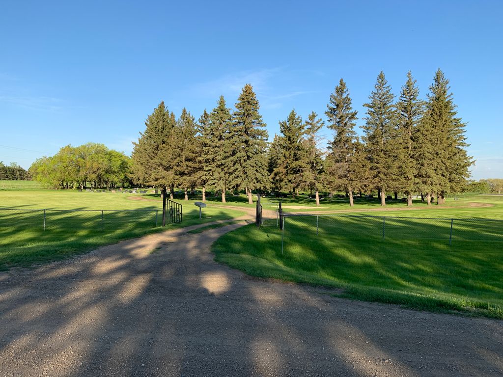
Located NW of the town of Pilot Mound, MB, on the southwest corner of the junction of Provincial Road 64W with Provincial Road 253
A simple network of roadways provides nominal vehicular access to the grounds.
Burial records can be consulted by contacting the office of the RM of Louise.
NOTE: Due to the proximity of this yard with the older Greenwood Cemeteryestablished on the northwest corner of the same junction at Provincial Road 253 in 1882, there may be some confusion on this service about the accurate location of graves on this service.
It is advisable to review the information about memorials for both cemeteries when seeking to locate the burial place of a loved one. In the case of any doubt, the staff at the office of the RM of Louise will be able to clarify the location before any visit to the site.
Members have Contributed
Advertisement
Photos


Managed by the RM of Louise.
Greenwood Cemetery is divided by Provincial Highway #253.
Both sections of the cemetery are still in active use, although pre-1950 burials are found on the north side of the highway and there are no longer any available plots there.
(Source: RM of Louise website [2023/12; Adapted])
~~~~~~~~~~
Dominion Land Survey coordinates: LSD16-08-03-11-W1
In the Rural Municipality of Louise
~~~~~~~~~~
A part of the town's story, and those of its inhabitants, from the early days of European settlement through roughly 1930 is told in the volume "Memories of Pioneer Days at Pilot Mound", in a related pamphlet entitled "Pilot Mound Illustrated", and in the volume "Pilot Mound 50, District 75, Reunion, July 1954".
Free digital versions of these and many other Manitoba local history books can be found online in the University of Manitoba Digital Collections. There is also a list of such books organized by district and town name on the Manitoba Historical Society's website on their page entitled "Finding Aid: Manitoba Local History Books".
A list of burials in this cemetery is available from the Manitoba Genealogical Society (reference #0246), transcribed by a member or members in 1985-87. Also available to MGS members is a searchable online database named the "MGS Manitoba Name Index" (or MANI). Some additional information is contained in the 1996 MGS publication "Carved in Stone: Manitoba Cemeteries and Burial Sites" (revised edition, Special Projects Publication, 106 pages).
Nearby cemeteries

Pilot Mound, Pilot Mound Census Division, Manitoba, Canada
- Total memorials1k+
- Percent photographed86%
- Percent with GPS33%

Crystal City, Pilot Mound Census Division, Manitoba, Canada
- Total memorials5
- Percent photographed80%
- Percent with GPS0%

Crystal City, Pilot Mound Census Division, Manitoba, Canada
- Total memorials1k+
- Percent photographed90%
- Percent with GPS6%
Wood Bay, Pilot Mound Census Division, Manitoba, Canada
- Total memorials6
- Percent photographed0%
- Percent with GPS0%
- Added: 10 Dec 2019
- Find a Grave Cemetery ID: 2697150

Cemetery Photos
This is a carousel with slides. Use Next and Previous buttons to navigate, or jump to a slide with the slide dots. Use Escape keyboard button or the Close button to close the carousel.


Success
Uploading...
Waiting...
Failed
This photo was not uploaded because this cemetery already has 20 photos
This photo was not uploaded because you have already uploaded 5 photos to this cemetery
This photo was not uploaded because you have already uploaded 5 photos to this cemetery
Invalid File Type
Birth and death years unknown.
1 photo picked...
2 photos picked...
Uploading 1 Photo
Uploading 2 Photos
1 Photo Uploaded
2 Photos Uploaded
Size exceeded
Too many photos have been uploaded
"Unsupported file type"
• ##count## of 0 memorials with GPS displayed. Double click on map to view more.No cemeteries found