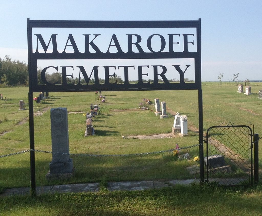
Makaroff Cemetery
Makaroff, Roblin, Russell, Rossburn Census Division, Manitoba, Canada
About
-
Get directions 1st Street W
Makaroff, Roblin, Manitoba
R0L 1T0 CanadaCoordinates: 51.34616, -101.51191 - roblinmanitoba.com/p/points-of-interest
- [email protected]
- +1-204-937-8333
-
Office Address
Municipality of Roblin
125-1st Avenue NW
PO Box 998
Roblin, Roblin, Manitoba
R0L 1P0 Canada - Cemetery ID:
-
Additional information
Located a short distance south of the community of Makaroff, MB, at the bend in the road where 1st Street W meets Provincial Range Road 159N
There is no network of improved roadways providing vehicular access to the grounds.
The cemetery is managed by a local committee, whose current contact information is available from the staff of the RM of Municipality of Roblin [2024/03].
Members have Contributed
Advertisement
Photos


The hamlet of Makaroff is located on the SE ¼ of 21-27-29[-W1], which lies between two valleys; one is the Assiniboine on the SW and the other is Boggy Creek to the NE. The district consists of good, mixed, rolling land. We understand it was once a fairly bushy land, but in the late 1890's, a forest fire swept through the area, so that by the time the early settlers arrived, this land was relatively clear.
The first survey of Makaroff district was done in 1880. The only inhabitants by 1900 were Boggy Johnson, G. Peddie and the Brook ranchers. The James Rogers family was the first to homestead in 1901. In 1902 there were only the G. D. Sloan, C. McDonald and J. Rogers families added.
In 1903 the C.N. Railway was to go through the district, causing the whole area to be settled. Most of the early pioneers came in by ox-cart and horse and wagon from Grandview or Russell, Manitoba. Many followed the old Pelly Trail through to the centre of the district from Russell, Manitoba.
Makaroff was named after Admiral Makaroff of the Russian fleet who went down with his ship, flag flying, during the Russian-Japanese war. Togo, Saskatchewan, a village a little farther on, was named after Admiral Togo of the Japanese fleet.
Makaroff was registered as a townsite in 1907. Mr. Jack Bradford became the first station agent in October, 1922. The first telegram was sent by N. J. Kerswell to Rev. C. M. Bates.
(by Helen Beattie)
(Source: Shell River Municipality Century One - 1884-1984, pp 176ff [1984; Adapted])
~~~~~~~~~~
Established in 1909.
(Source: Manitoba Genealogical Society [Adapted])
~~~~~~~~~~
Dominion Land Survey coordinates: LSD14-16-27-29-W1
In the Municipality of Roblin
~~~~~~~~~~
As noted above, a part of the community's story, and those of its inhabitants, from the early days of European settlement through roughly 2000 is told in the volume "Shell River Municipality Century One - 1884-1984", especially starting on the cited pages, and in the later related work entitled "Roblin and Rural Districts Family Histories - Volumes I, II, and III".
Free digital versions of the former, Volume III of the latter, and many other Manitoba local history books can be found online in the University of Manitoba Digital Collections. There is also a list of such books organized by district and town name on the Manitoba Historical Society's website on their page entitled "Finding Aid: Manitoba Local History Books".
A list of burials in this cemetery is available from the Manitoba Genealogical Society (reference #0771), transcribed by a member or members in 1993. Also available to MGS members is a searchable online database named the "MGS Manitoba Name Index" (or MANI). Some additional information is contained in the 1996 MGS publication "Carved in Stone: Manitoba Cemeteries and Burial Sites" (revised edition, Special Projects Publication, 106 pages).
Nearby cemeteries

Silverwood, Roblin, Russell, Rossburn Census Division, Manitoba, Canada
- Total memorials195
- Percent photographed97%
- Percent with GPS0%

Togo, Yorkton Census Division, Saskatchewan, Canada
- Total memorials624
- Percent photographed87%
- Percent with GPS0%

Roblin, Roblin, Russell, Rossburn Census Division, Manitoba, Canada
- Total memorials127
- Percent photographed98%
- Percent with GPS0%
Zelena, Roblin, Russell, Rossburn Census Division, Manitoba, Canada
- Total memorials1
- Percent photographed0%
- Percent with GPS0%
- Added: 27 Jan 2015
- Find a Grave Cemetery ID: 2567284

Cemetery Photos
This is a carousel with slides. Use Next and Previous buttons to navigate, or jump to a slide with the slide dots. Use Escape keyboard button or the Close button to close the carousel.


Success
Uploading...
Waiting...
Failed
This photo was not uploaded because this cemetery already has 20 photos
This photo was not uploaded because you have already uploaded 5 photos to this cemetery
This photo was not uploaded because you have already uploaded 5 photos to this cemetery
Invalid File Type
Birth and death years unknown.
1 photo picked...
2 photos picked...
Uploading 1 Photo
Uploading 2 Photos
1 Photo Uploaded
2 Photos Uploaded
Size exceeded
Too many photos have been uploaded
"Unsupported file type"
• ##count## of 0 memorials with GPS displayed. Double click on map to view more.No cemeteries found