Roussain Cemetery
Fond du Lac, St. Louis County, Minnesota, USA
About
-
Get directions Minnesota 210
Fond du Lac, Minnesota 55808 United StatesCoordinates: 46.67526, -92.29662 - Cemetery ID:
Members have Contributed
Advertisement
Photos

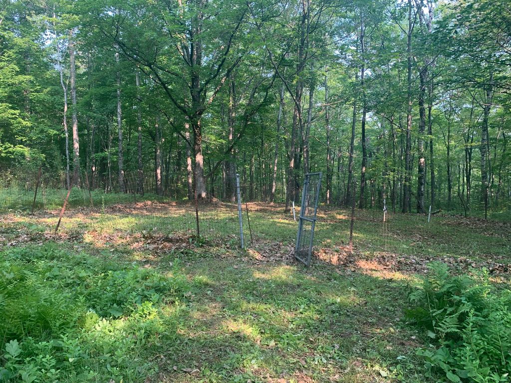
Take Hwy 210 between mile marker 26 and 27 on the North side of the road. Hwy 210 takes you through Jay Cooke State Park. The Cemetery has a gate at the road and you can walk beyond it, along a 4-wheeler type of trail to the left about 1/4 mile. This cemetery was run by the park board but is now property of the Fond du Lac band. Be very respectful as they have had problems with vandalism.
History
According to the book "A Forever Story: The People and Community of the Fond du Lac Reservation" edited by Thomas D. Peacock of Fond du Lac reservation :
"Trading with Indians for furs began in the mid-1600's and continued for two hundred years. The first documented trading post in the Fond du Lac area was established by the North West Company in present day Superior, Wisconsin, in 1793. On the Minnesota side of the St. Louis River, in present day Fond du Lac, the American Fur Company traded from 1814 until 1834, at a location on the shore of the river between what is now 133rd and 134th Avenues West. Behind the post were two burial grounds, one Christian and one older Indian site at the base of the hill. Several missions and a school were conducted at Fond du Lac during the 1800s." p. 44-45
Later, on page 45, the book states, "The Ojibwe continued to live in the village, including the islands, until the Treaty of La Pointe in 1854, which established the Fond du Lac Reservation near Cloquet, MN."
Again, later on page 45, "The Village was platted in 1856, incorporated in 1857, and eventually annexed by the City of Duluth. In 1870, construction of the Lake Superior and Mississippi Railroad passed through the burial grounds of the Fond du Lac Village. This prompted Eustache Roussain, son of an early French fur trader and and Ojibwe mother, to move many of the burials to land he owned up the hill in what is now Jay Cooke State Park. Spirit houses and white picket fencing were present until the 1950s. The last burial in Roussain's new cemetery was a Mrs. Durfee in 1914."
Nearby cemeteries
Duluth, Saint Louis County, Minnesota, USA
- Total memorials0
- Percent photographed0%
- Percent with GPS0%

Eldes Corner, Saint Louis County, Minnesota, USA
- Total memorials429
- Percent photographed75%
- Percent with GPS10%

Esko, Carlton County, Minnesota, USA
- Total memorials1k+
- Percent photographed77%
- Percent with GPS55%

Thomson, Carlton County, Minnesota, USA
- Total memorials106
- Percent photographed23%
- Percent with GPS2%
- Added: 30 Sep 2014
- Find a Grave Cemetery ID: 2555468

Cemetery Photos
This is a carousel with slides. Use Next and Previous buttons to navigate, or jump to a slide with the slide dots. Use Escape keyboard button or the Close button to close the carousel.

Success
Uploading...
Waiting...
Failed
This photo was not uploaded because this cemetery already has 20 photos
This photo was not uploaded because you have already uploaded 5 photos to this cemetery
This photo was not uploaded because you have already uploaded 5 photos to this cemetery
Invalid File Type
Birth and death years unknown.
1 photo picked...
2 photos picked...
Uploading 1 Photo
Uploading 2 Photos
1 Photo Uploaded
2 Photos Uploaded
Size exceeded
Too many photos have been uploaded
"Unsupported file type"
• ##count## of 0 memorials with GPS displayed. Double click on map to view more.No cemeteries found