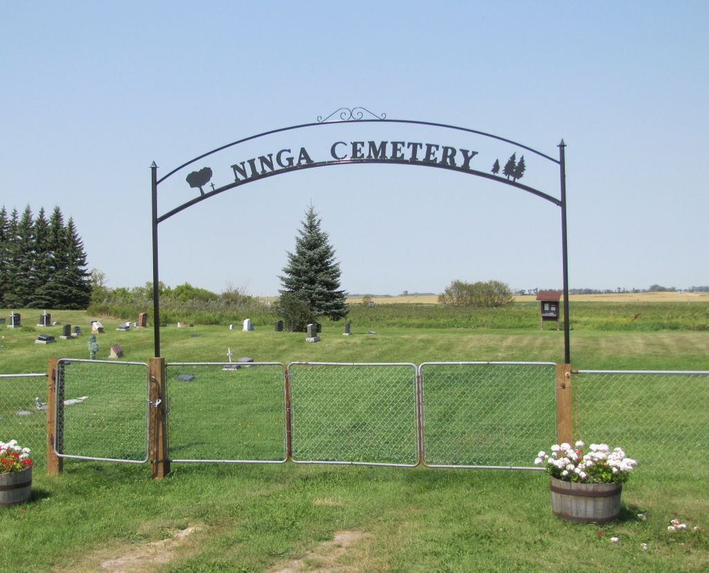
Ninga Cemetery
Ninga, Southwestern Census Division, Manitoba, Canada
About
-
Get directions Provincial Road 443
Ninga, Municipality of Killarney-Turtle Mountain, Manitoba
R0K 1S0 CanadaCoordinates: 49.22296, -99.88085 - www.killarney.ca/p/contact-us
- [email protected]
- +1-204-523-7247
-
Office Address
Municipality of Killarney-Turtle Mountain
415 Broadway Avenue
P.O. Box 10
Killarney, Manitoba
R0K 1G0 Canada - Cemetery ID:
-
Additional information
Located SW of the town of Ninga, MB, on the north side of Provincial Road 443, just to the west of the junction with Provincial Road 346
There is no network of improved roadways providing vehicular access to the grounds.
The cemetery is managed by a local committee, whose current contact information can be obtained by contacting the office of the Municipality of Killarney-Turtle Mountain [2023/12].
Members have Contributed
Advertisement
Photos

Ninga Cemetery was established by a group of settlers who realized the need for a final resting place for their family members. Some of the earliest graves go back to 1886 to 1889. They were children of the Nay, Maloney, Miller, and Ferries families. Many of the early residents of the area had been buried in other places and were later moved to Ninga Cemetery after it was established.
The Ninga Cemetery Board has decided to leave the area to the north and east (the back) of the information stand in the cemetery in its natural state. This area is virgin soil that has never been ploughed or worked, and the Board has chosen to not mow the grass there for that reason. At the very northeast corner, a wagon trail can sometimes be seen during a very dry year or late in the fall. This trail was used by people from the south and southeast coming to the town for supplies. (Unsourced)
~~~~~~~~~~
Today, Ninga may be a mere dot on a map of the Canadian Prairies. However, in the hearts of many Canadians scattered from coast to coast, Ninga still means "My Mother" just as we are told the original Chippewayan translates.
It is now one hundred years since settlers began arriving in the Ninga area, staking their claim to fertile homesteads. Ninga started in 1887, when the C.P.R. sent Mr. Charles Seefield, along with two carloads of lumber, to a setting between Boissevain and Killarney, with instructions to build a town.
(Source: Ninga Manitoba - History and Birthdates Index, p i [1988; Adapted])
~~~~~~~~~~
Established in 1886.
(Source: Manitoba Genealogical Society [Adapted])
~~~~~~~~~~
Dominion Land Survey coordinates: LSD01-19-03-18-W1
In the Rural Municipality of Killarney-Turtle Mountain
~~~~~~~~~~
As noted above, a part of the town's story, and those of its inhabitants, from the early days of European settlement through roughly 1988 is told in the volume "Ninga Manitoba - History and Birthdates Index". A free digital version of this and many other Manitoba local history books can be found online in the University of Manitoba Digital Collections. There is also a list of such books organized by district and town name on the Manitoba Historical Society's website on their page entitled "Finding Aid: Manitoba Local History Books".
A list of burials in this cemetery is available from the Manitoba Genealogical Society (reference #0216), transcribed by a member or members in 1986. Also available to MGS members is a searchable online database named the "MGS Manitoba Name Index" (or MANI). Some additional information is contained in the 1996 MGS publication "Carved in Stone: Manitoba Cemeteries and Burial Sites" (revised edition, Special Projects Publication, 106 pages).
Nearby cemeteries
Killarney, Southwestern Census Division, Manitoba, Canada
- Total memorials1
- Percent photographed100%
- Percent with GPS0%
Boissevain, Southwestern Census Division, Manitoba, Canada
- Total memorials1
- Percent photographed100%

Boissevain, Southwestern Census Division, Manitoba, Canada
- Total memorials2k+
- Percent photographed90%
- Percent with GPS71%

Killarney, Southwestern Census Division, Manitoba, Canada
- Total memorials3k+
- Percent photographed49%
- Percent with GPS10%
- Added: 13 Aug 2014
- Find a Grave Cemetery ID: 2550436

Cemetery Photos
This is a carousel with slides. Use Next and Previous buttons to navigate, or jump to a slide with the slide dots. Use Escape keyboard button or the Close button to close the carousel.

Success
Uploading...
Waiting...
Failed
This photo was not uploaded because this cemetery already has 20 photos
This photo was not uploaded because you have already uploaded 5 photos to this cemetery
This photo was not uploaded because you have already uploaded 5 photos to this cemetery
Invalid File Type
Birth and death years unknown.
1 photo picked...
2 photos picked...
Uploading 1 Photo
Uploading 2 Photos
1 Photo Uploaded
2 Photos Uploaded
Size exceeded
Too many photos have been uploaded
"Unsupported file type"
• ##count## of 0 memorials with GPS displayed. Double click on map to view more.No cemeteries found