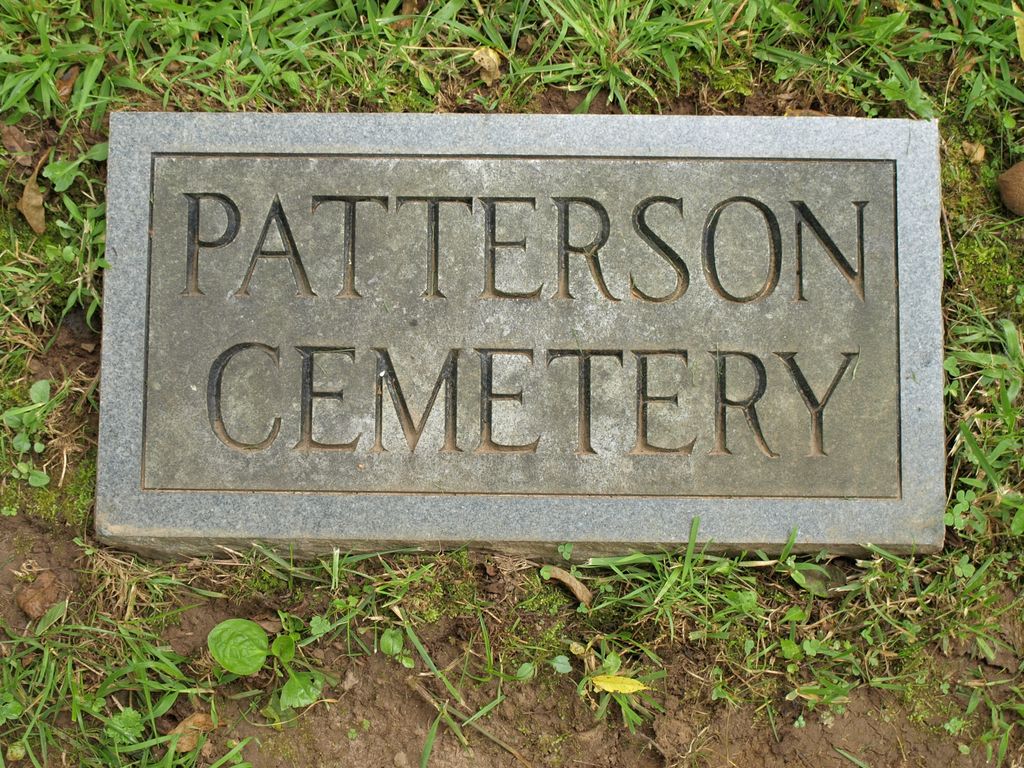
Patterson Family Cemetery
Day Book, Yancey County, North Carolina, USA

BETTER DIRECTIONS from Lloyd Bailey:
From Burnsville, go west on Hwy.19-E (toward Asheville), about 3 miles and turn right on Jacks Creek Road (if you have crossed a low bridge over a river and a recycling place on the right, you have just passed the Jacks Creek Road). Go down Jacks Creek about 5 miles (past Bailey Branch Road where I grew up, past Coxes Creek Road, past Guilders Creek Road, past Red Barn (??) Road, and past Sam Byrd Road. Before you will be a straight track of road with Patterson Branch Road more than ½ way down. Continue short distance to the end of the straight, and, just as the road curves to the right, the little cemetery will be on your left (with a white military cemetery marker in plain sight, about 40 feet from the road!
Nearby cemeteries
Day Book, Yancey County, North Carolina, USA
- Total memorials2
- Percent photographed50%

Day Book, Yancey County, North Carolina, USA
- Total memorials9
- Percent photographed89%
- Percent with GPS0%
Burnsville, Yancey County, North Carolina, USA
- Total memorials7
- Percent photographed100%
- Percent with GPS100%

Day Book, Yancey County, North Carolina, USA
- Total memorials45
- Percent photographed78%
- Percent with GPS2%
- Added: 28 Mar 2013
- Find a Grave Cemetery ID: 2490569

Cemetery Photos
This is a carousel with slides. Use Next and Previous buttons to navigate, or jump to a slide with the slide dots. Use Escape keyboard button or the Close button to close the carousel.

Success
Uploading...
Waiting...
Failed
This photo was not uploaded because this cemetery already has 20 photos
This photo was not uploaded because you have already uploaded 5 photos to this cemetery
This photo was not uploaded because you have already uploaded 5 photos to this cemetery
Invalid File Type
Birth and death years unknown.
1 photo picked...
2 photos picked...
Uploading 1 Photo
Uploading 2 Photos
1 Photo Uploaded
2 Photos Uploaded
Size exceeded
Too many photos have been uploaded
"Unsupported file type"
• ##count## of 0 memorials with GPS displayed. Double click on map to view more.No cemeteries found