Indian Hollow Cemetery
Huntington, Hampshire County, Massachusetts, USA
About
-
- This cemetery is marked as being historical or removed.
- No longer accepting burials
- Cemetery ID:
Members have Contributed
Advertisement
Photos
No additional photos.
Add PhotosThe markers from Indian Hollow and Knightville Cemeteries were removed as part of a flood control project that created Knightville Reservoir in 1939-40. A burial permit was issued by the Town Clerk's Office, Huntington, MA for each marker (or each name on the marker). Each permit stub has a transcription of the gravestone. Unless a family member had the remains exhumed and moved, the remains were left in place. Soil from the original grave accompanied the marker and was placed under it at its new location at Norwich Bridge Cemetery.
The markers are at the top of the Norwich Bridge Cemetery hill. Their location is marked with a boulder and plaque, "The graves in this back section were moved from the Knightville and Indian Hollow cemeteries due to the construction of Knightville Dam in 1939. There are 54 unknown graves."
Walter Corbin transcribed the cemetery on 15 May 1937. At that time, he found 62 legible markers.
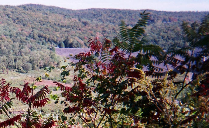
Indian Hollow Cemetery was located about 1 mile north of what was the center of Knightville. The location cannot be physically accessed.
Note: Marker transcription, relationship links, picture of marker, and any additional information are posted at Norwich Bridge Cemetery. A link to each memorial in Norwich Bridge Cemetery is included.
The markers from Indian Hollow and Knightville Cemeteries were removed as part of a flood control project that created Knightville Reservoir in 1939-40. A burial permit was issued by the Town Clerk's Office, Huntington, MA for each marker (or each name on the marker). Each permit stub has a transcription of the gravestone. Unless a family member had the remains exhumed and moved, the remains were left in place. Soil from the original grave accompanied the marker and was placed under it at its new location at Norwich Bridge Cemetery.
The markers are at the top of the Norwich Bridge Cemetery hill. Their location is marked with a boulder and plaque, "The graves in this back section were moved from the Knightville and Indian Hollow cemeteries due to the construction of Knightville Dam in 1939. There are 54 unknown graves."
Walter Corbin transcribed the cemetery on 15 May 1937. At that time, he found 62 legible markers.
Indian Hollow Cemetery was located about 1 mile north of what was the center of Knightville. The location cannot be physically accessed.
Note: Marker transcription, relationship links, picture of marker, and any additional information are posted at Norwich Bridge Cemetery. A link to each memorial in Norwich Bridge Cemetery is included.
Nearby cemeteries


Cerney Wick, Cotswold District, Gloucestershire, England
- Total memorials1
- Percent photographed100%
Sekondi-Takoradi, Western, Ghana
- Total memorials69
- Percent photographed6%
- Percent with GPS0%

Cape Coast, Central, Ghana
- Total memorials6
- Percent photographed67%
- Percent with GPS0%
- Added: 8 Sep 2010
- Find a Grave Cemetery ID: 2369527

Cemetery Photos
This is a carousel with slides. Use Next and Previous buttons to navigate, or jump to a slide with the slide dots. Use Escape keyboard button or the Close button to close the carousel.
Success
Uploading...
Waiting...
Failed
This photo was not uploaded because this cemetery already has 20 photos
This photo was not uploaded because you have already uploaded 5 photos to this cemetery
This photo was not uploaded because you have already uploaded 5 photos to this cemetery
Invalid File Type
Birth and death years unknown.
1 photo picked...
2 photos picked...
Uploading 1 Photo
Uploading 2 Photos
1 Photo Uploaded
2 Photos Uploaded
Size exceeded
Too many photos have been uploaded
"Unsupported file type"
• ##count## of 0 memorials with GPS displayed. Double click on map to view more.No cemeteries found