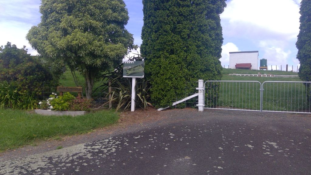
Aria Cemetery
Te Kuiti, Waitomo District, Waikato, New Zealand

The King Country is a region of the western North Island of New Zealand extending from the Kawhia Harbour to Pirongia where the Waipa River meets the Puniu and up that river to Wharepapa over the Rangitoto Ranges to the Waikato River and south to the Hauhungaroa Ranges to the upper reaches of the Whanganui River out to the Tasman Sea at Mokau.
Towns and areas are: Kawhia, Aotea, Oparau, Te Rau A Moa, Ngutunui, Tiheroa, Pokuru, Te Mawhai, Tokanui, Waikeria, Honokiwi, Kio Kio, Otorohanga, Maihihi, Otewa, Waitomo, Te Anga, Marakopa, Te Kuiti, Pio Pio, Aria, Mokau, Mapiu, Taumarunui. Ongarue
The term King Country dates from the New Zealand Land Wars, when colonial forces fought the Mâori King Movement in the Waikato; the last battle being Orakau from where the enemy escaped across the Puniu River to the area named after them.
Nearby cemeteries

Piopio, Waitomo District, Waikato, New Zealand
- Total memorials262
- Percent photographed93%
- Percent with GPS1%

Mapiu, Waitomo District, Waikato, New Zealand
- Total memorials32
- Percent photographed91%
- Percent with GPS91%
Matiere, Ruapehu District, Manawatū-Whanganui, New Zealand
- Total memorials69
- Percent photographed14%
- Percent with GPS4%
Kopaki, Waitomo District, Waikato, New Zealand
- Total memorials1
- Percent photographed100%
- Percent with GPS0%
- Added: 7 Jun 2010
- Find a Grave Cemetery ID: 2356998

Cemetery Photos
This is a carousel with slides. Use Next and Previous buttons to navigate, or jump to a slide with the slide dots. Use Escape keyboard button or the Close button to close the carousel.

Success
Uploading...
Waiting...
Failed
This photo was not uploaded because this cemetery already has 20 photos
This photo was not uploaded because you have already uploaded 5 photos to this cemetery
This photo was not uploaded because you have already uploaded 5 photos to this cemetery
Invalid File Type
Birth and death years unknown.
1 photo picked...
2 photos picked...
Uploading 1 Photo
Uploading 2 Photos
1 Photo Uploaded
2 Photos Uploaded
Size exceeded
Too many photos have been uploaded
"Unsupported file type"
• ##count## of 0 memorials with GPS displayed. Double click on map to view more.No cemeteries found