James Adams Cemetery
Pattonsville, Scott County, Virginia, USA
CEMETERY DESCRIPTION BY WES BELL.
GPS coordinates for the highway entrance are N 36 42.085, W 82 50.585, elevation 1,415 feet.
This cemetery is on private property more commonly referred to as the Clendenen Mountain View Ranch. There are actually "four" different burial plots on this hill/ridge.
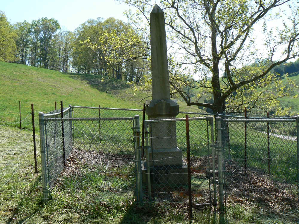
This cemetery plot at one time was not fenced. It has been fenced since about 2004 and is adjoining northeast of the Bell Cemetery.
CEMETERY DESCRIPTION BY WES BELL.
GPS coordinates for the highway entrance are N 36 42.085, W 82 50.585, elevation 1,415 feet.
This cemetery is on private property more commonly referred to as the Clendenen Mountain View Ranch. There are actually "four" different burial plots on this hill/ridge.
This cemetery plot at one time was not fenced. It has been fenced since about 2004 and is adjoining northeast of the Bell Cemetery.
Nearby cemeteries

Pattonsville, Scott County, Virginia, USA
- Total memorials5
- Percent photographed60%
- Percent with GPS0%

Pattonsville, Scott County, Virginia, USA
- Total memorials4
- Percent photographed100%
- Percent with GPS0%

Duffield, Scott County, Virginia, USA
- Total memorials7
- Percent photographed71%
- Percent with GPS0%

Pattonsville, Scott County, Virginia, USA
- Total memorials26
- Percent photographed58%
- Percent with GPS0%
- Added: 22 May 2010
- Find a Grave Cemetery ID: 2355078

Cemetery Photos
This is a carousel with slides. Use Next and Previous buttons to navigate, or jump to a slide with the slide dots. Use Escape keyboard button or the Close button to close the carousel.
Success
Uploading...
Waiting...
Failed
This photo was not uploaded because this cemetery already has 20 photos
This photo was not uploaded because you have already uploaded 5 photos to this cemetery
This photo was not uploaded because you have already uploaded 5 photos to this cemetery
Invalid File Type
Birth and death years unknown.
1 photo picked...
2 photos picked...
Uploading 1 Photo
Uploading 2 Photos
1 Photo Uploaded
2 Photos Uploaded
Size exceeded
Too many photos have been uploaded
"Unsupported file type"
• ##count## of 0 memorials with GPS displayed. Double click on map to view more.No cemeteries found