Hines Cemetery
Avonmore, Westmoreland County, Pennsylvania, USA
About
-
- Cemetery ID:
Members have Contributed
Advertisement
Photos


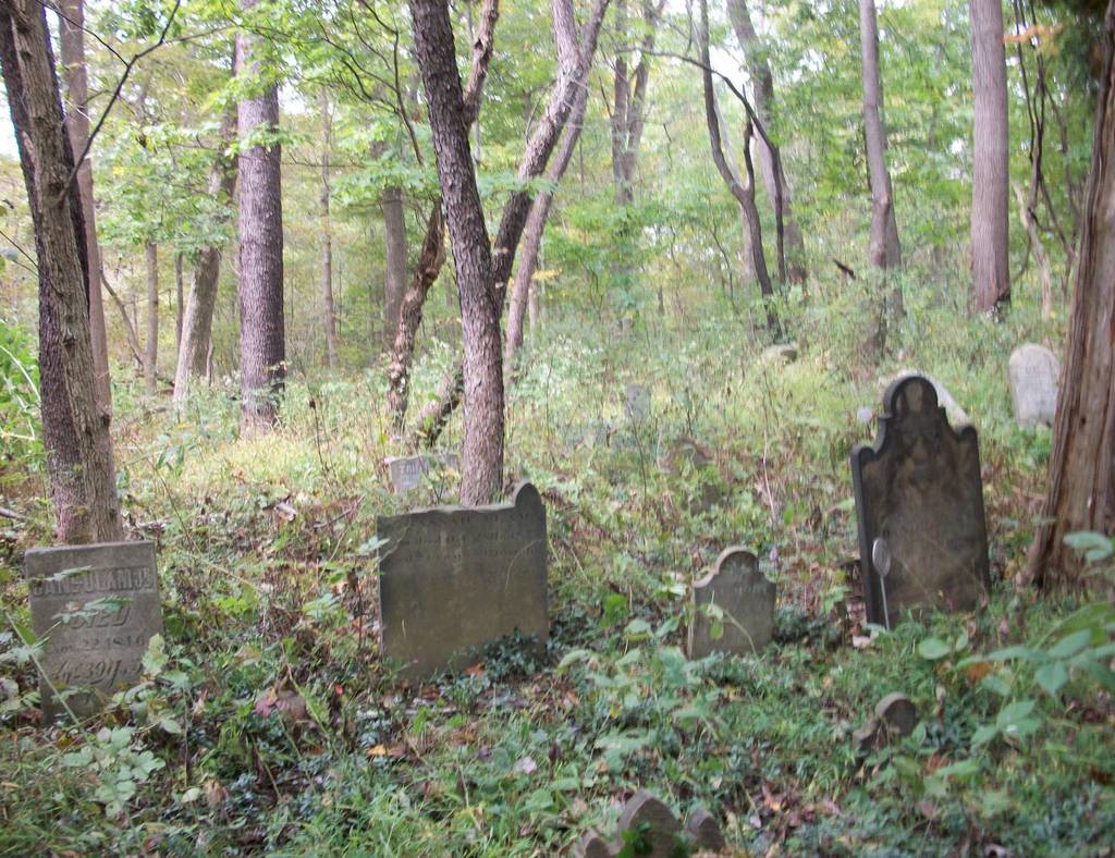
If you look at a the 7.5 minute USGS topo map 0.3 miles south of Avonmore, way up on top of the hill right beside the water tanks on the map, you will see a tiny cemetery with no name. The map shows a small dirt road leading up to the water tanks. According to the map, if you are standing at the water tanks, you will need to walk a short distance further to the southeast to get to the cemetery. The map is probably 40 years old, but it does show tree cover over the entire cemetery and surrounding area.
In July of 2007, I checked accessability to the cemetery. The road leading up to the water tower is 5th Street and then 5th Street Extension, but when you get partway up the side of the hill there is a gate on the road and a "no Tresspassing" sign. So you will probably need permission from the city of Avonmore to use this route. Also, you will need to park in Avonmore itself because there is nowhere to park along 5th St. Extension since it is private property. I checked out access by 6th and 7th Streets, but they weren't any better. The dirt roads lead back, but there is nowhere to park. You would have to park at the athletic fields and then walk over private property to get back to the water tank. Even if you take the access road off of 5th St., you will have a walk up the gravel road that rises about 140 feet which is a lot of vertical height.
There are rumors that there is a man who lives beside the cemetery who chases people off with a shotgun. [Alan Saltsman, December 12, 2009]
Nearby cemeteries

Saltsburg, Indiana County, Pennsylvania, USA
- Total memorials13
- Percent photographed0%
- Percent with GPS0%

Avonmore, Westmoreland County, Pennsylvania, USA
- Total memorials1k+
- Percent photographed54%
- Percent with GPS2%

Edmon, Armstrong County, Pennsylvania, USA
- Total memorials9
- Percent photographed78%
- Percent with GPS0%

Nowrytown, Indiana County, Pennsylvania, USA
- Total memorials282
- Percent photographed76%
- Percent with GPS0%
- Added: 12 Dec 2009
- Find a Grave Cemetery ID: 2334501

Cemetery Photos
This is a carousel with slides. Use Next and Previous buttons to navigate, or jump to a slide with the slide dots. Use Escape keyboard button or the Close button to close the carousel.


Success
Uploading...
Waiting...
Failed
This photo was not uploaded because this cemetery already has 20 photos
This photo was not uploaded because you have already uploaded 5 photos to this cemetery
This photo was not uploaded because you have already uploaded 5 photos to this cemetery
Invalid File Type
Birth and death years unknown.
1 photo picked...
2 photos picked...
Uploading 1 Photo
Uploading 2 Photos
1 Photo Uploaded
2 Photos Uploaded
Size exceeded
Too many photos have been uploaded
"Unsupported file type"
• ##count## of 0 memorials with GPS displayed. Double click on map to view more.No cemeteries found