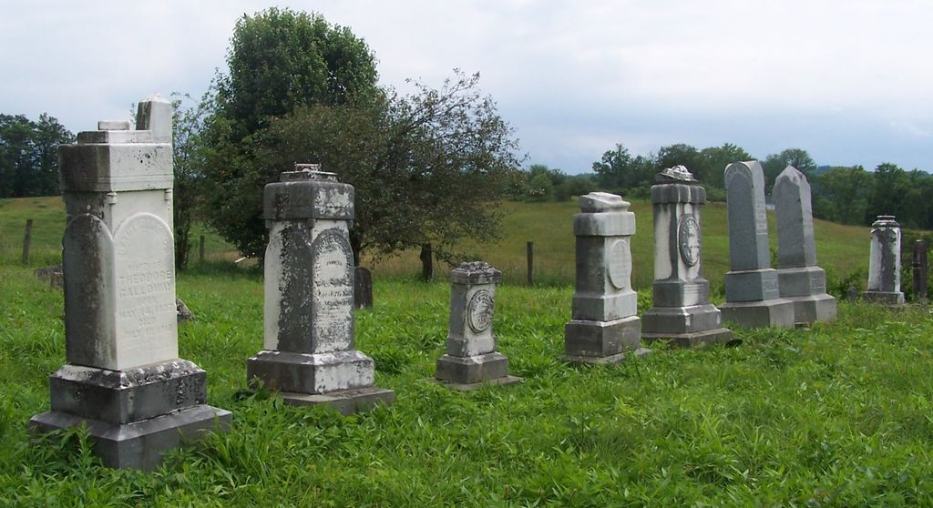
Polly Archer Cemetery
Middlebourne, Tyler County, West Virginia, USA

From Middlebourne go North on State Route 18 for .4 miles, turn left onto the Sellers Road (Co. Rt. 24) go 3.1 miles, turn right onto Co. Rt. 10/1 for .7 miles. The Cemetery is located on the right, out in a field about 300 yards away from the Archers Chapel Cemetery. Access is by the driveway beside a large dairy barn. The Cemetery is fenced and well maintained.
From Middlebourne go North on State Route 18 for .4 miles, turn left onto the Sellers Road (Co. Rt. 24) go 3.1 miles, turn right onto Co. Rt. 10/1 for .7 miles. The Cemetery is located on the right, out in a field about 300 yards away from the Archers Chapel Cemetery. Access is by the driveway beside a large dairy barn. The Cemetery is fenced and well maintained.
Nearby cemeteries

Middlebourne, Tyler County, West Virginia, USA
- Total memorials446
- Percent photographed80%
- Percent with GPS58%

Middlebourne, Tyler County, West Virginia, USA
- Total memorials2
- Percent photographed50%
- Percent with GPS50%
Adonis, Tyler County, West Virginia, USA
- Total memorials28
- Percent photographed7%
- Percent with GPS0%
Middlebourne, Tyler County, West Virginia, USA
- Total memorials3
- Percent photographed0%
- Percent with GPS0%
- Added: 4 Jun 2009
- Find a Grave Cemetery ID: 2308437

Cemetery Photos
This is a carousel with slides. Use Next and Previous buttons to navigate, or jump to a slide with the slide dots. Use Escape keyboard button or the Close button to close the carousel.

Success
Uploading...
Waiting...
Failed
This photo was not uploaded because this cemetery already has 20 photos
This photo was not uploaded because you have already uploaded 5 photos to this cemetery
This photo was not uploaded because you have already uploaded 5 photos to this cemetery
Invalid File Type
Birth and death years unknown.
1 photo picked...
2 photos picked...
Uploading 1 Photo
Uploading 2 Photos
1 Photo Uploaded
2 Photos Uploaded
Size exceeded
Too many photos have been uploaded
"Unsupported file type"
• ##count## of 0 memorials with GPS displayed. Double click on map to view more.No cemeteries found