Harrison Cemetery
Laurel County, Kentucky, USA
About
-
- Cemetery ID:
Members have Contributed
Advertisement
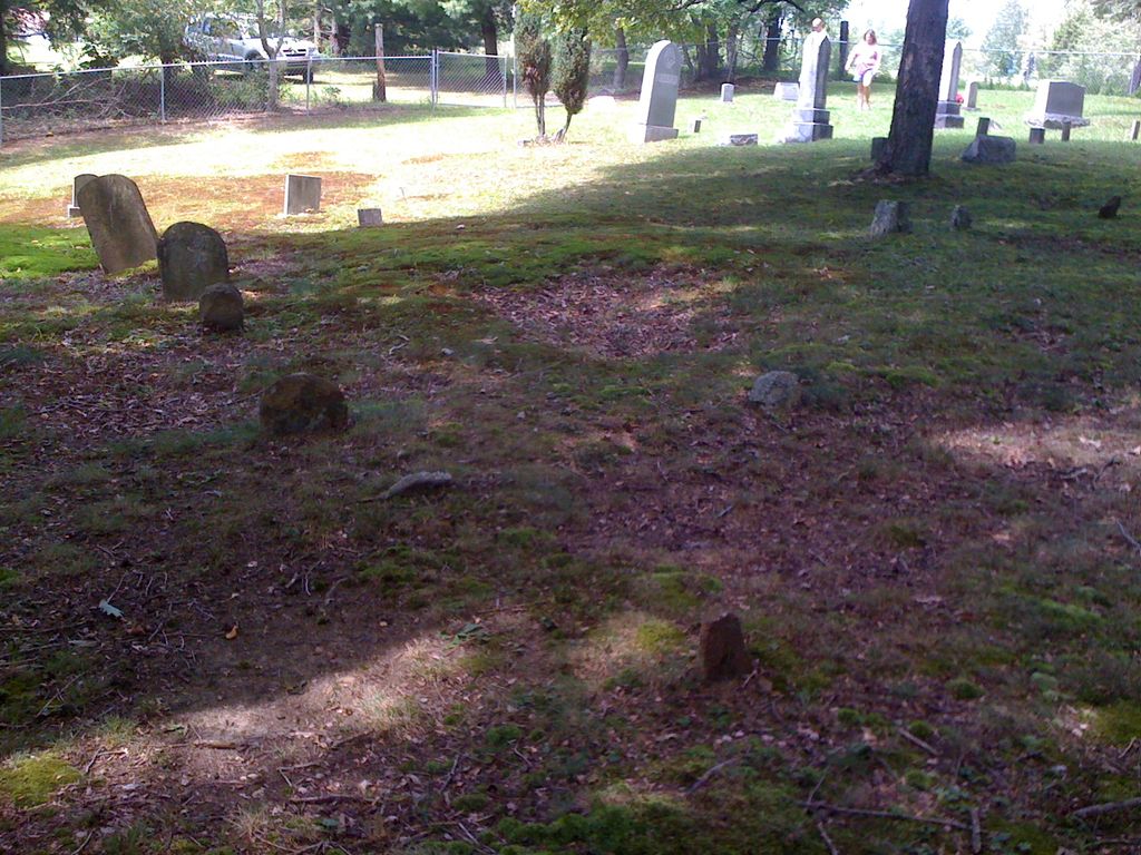
Photos


From Highway 30 East - From Daniel Boone Parkway, turn East one KY 30. Go 2.8 miles and turn right on KY 1227. Go 3.5 miles and turn left uphill on a private drive. Follow the private drive 0.1 mile to the house at the end of the drive. The cemetery is behind the house.
From KY 638 - From the Daniel Boone Parkway turn East on KY 638. Go 4.7 miles to KY 1227 and turn left. Go 0.3 mile and turn right uphill on a private drive. Follow the private drive 0.1 mile to the house at the end of the drive. The cemetery is behind
Nearby cemeteries

Laurel County, Kentucky, USA
- Total memorials29
- Percent photographed69%
- Percent with GPS0%

London, Laurel County, Kentucky, USA
- Total memorials6
- Percent photographed67%
- Percent with GPS0%

McWhorter, Laurel County, Kentucky, USA
- Total memorials10
- Percent photographed90%
- Percent with GPS0%

McWhorter, Laurel County, Kentucky, USA
- Total memorials20
- Percent photographed95%
- Percent with GPS0%
- Added: 17 Jul 2003
- Find a Grave Cemetery ID: 1967048

Cemetery Photos
This is a carousel with slides. Use Next and Previous buttons to navigate, or jump to a slide with the slide dots. Use Escape keyboard button or the Close button to close the carousel.


Success
Uploading...
Waiting...
Failed
This photo was not uploaded because this cemetery already has 20 photos
This photo was not uploaded because you have already uploaded 5 photos to this cemetery
This photo was not uploaded because you have already uploaded 5 photos to this cemetery
Invalid File Type
Birth and death years unknown.
1 photo picked...
2 photos picked...
Uploading 1 Photo
Uploading 2 Photos
1 Photo Uploaded
2 Photos Uploaded
Size exceeded
Too many photos have been uploaded
"Unsupported file type"
• ##count## of 0 memorials with GPS displayed. Double click on map to view more.No cemeteries found