Stout Cemetery
Carter County, Tennessee, USA
About
-
- Cemetery ID:
Members have Contributed
Advertisement
Photos


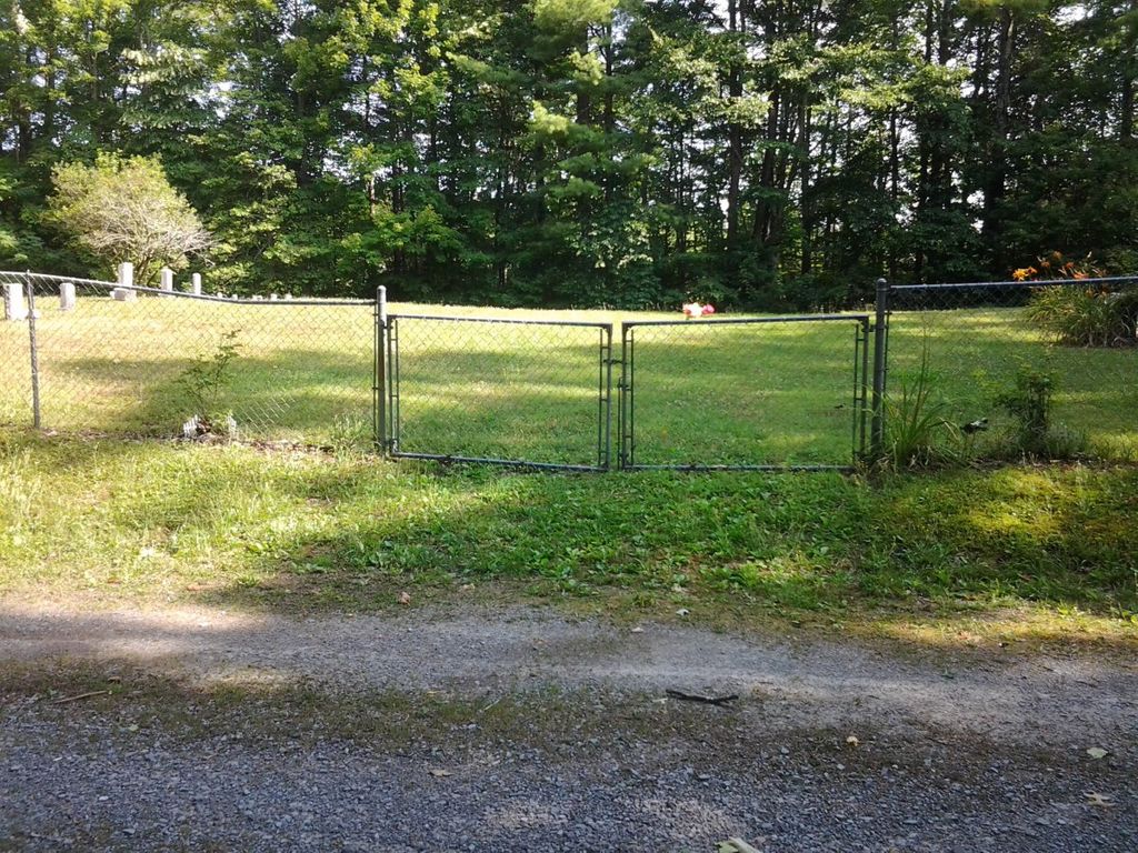
Isolated in the mountains surrounded by very dense forest!
It is maintained and currently active.
As of August 2023, all visible and legible markers, tombstones and headstones have been photographed.
WARNING: Water Moccasin's
DRIVING WARNING: If you are using Google Maps to find this cemetery, it shows White Oak Rd (the road that the cemetery sits along) going from Walnut Mountain Rd to Heaton Rd. This is very incorrect.
If you are driving up from Laurel Fork, you will take Walnut Mountain Rd. This road is a paved one lane road that turns into a gravel one lane road. You'll drive a few miles in a very dense forest (it gets pretty dark even if it's noon). There are no road signs, but the first gravel road to the right (the first one since you last saw a building/house) is White Oak Rd.
From Walnut Mountain Rd, White Oak Road goes from gravel to more like an old driveway (one lane). Once you are at the cemetery, you will need to go back the way you came. Google Maps shows that White Oak is a through road. When you round the bend at the cemetery, the road becomes more like an old logging road to hike that hasn't been maintained in 50 years! But you won't realize it until there is no place/space to turn around! DO NOT CONTINUE THROUGH unless you are driving a four-wheeler. Four-wheel drive trucks would be too big to navigate the TRAIL that is straight up on one side and straight down on the other.
If you are coming from Hwy 321, turn onto Heaton Rd. This road is a narrow-paved road for about 2 miles, then it's a narrow gravel road with water damage in places (water runoff mainly from the mountain on one side of it). At about mile 5, you will see Walnut Mountain Church. May not be used anymore, no electricity and it has men's and women's outhouses. When you round the bend and start up a steep incline, it's graveled one lane with 2–3-foot ditches on both sides. At the top, you'll turn left onto Walnut Mountain Rd (gravel one lane), then drive a few miles to White Oak Rd and turn left.
THE BEST ROUTE is from Hwy 19E (which is mentioned at the beginning), it's paved roads until you are on Walnut Mountain Rd!
Nearby cemeteries

Elk Mills, Carter County, Tennessee, USA
- Total memorials288
- Percent photographed98%
- Percent with GPS0%

Carter County, Tennessee, USA
- Total memorials12
- Percent photographed75%
- Percent with GPS0%

Carter County, Tennessee, USA
- Total memorials45
- Percent photographed87%
- Percent with GPS0%

Elk Mills, Carter County, Tennessee, USA
- Total memorials13
- Percent photographed92%
- Percent with GPS0%
- Added: 1 Jan 2000
- Find a Grave Cemetery ID: 19012

Cemetery Photos
This is a carousel with slides. Use Next and Previous buttons to navigate, or jump to a slide with the slide dots. Use Escape keyboard button or the Close button to close the carousel.


Success
Uploading...
Waiting...
Failed
This photo was not uploaded because this cemetery already has 20 photos
This photo was not uploaded because you have already uploaded 5 photos to this cemetery
This photo was not uploaded because you have already uploaded 5 photos to this cemetery
Invalid File Type
Birth and death years unknown.
1 photo picked...
2 photos picked...
Uploading 1 Photo
Uploading 2 Photos
1 Photo Uploaded
2 Photos Uploaded
Size exceeded
Too many photos have been uploaded
"Unsupported file type"
• ##count## of 0 memorials with GPS displayed. Double click on map to view more.No cemeteries found