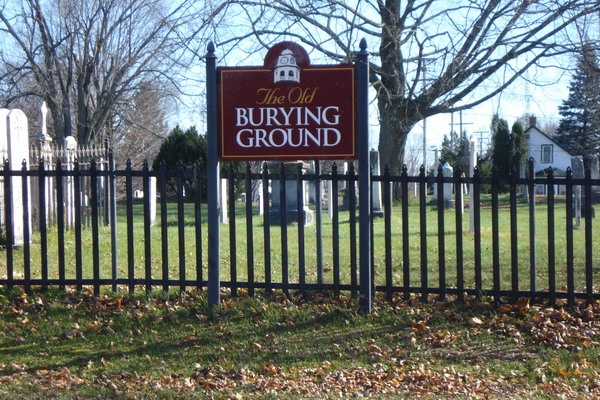
Old Burying Ground
Also known as Craig Street Cemetery , Pioneer Cemetery
Perth, Lanark County, Ontario, Canada

The Cemetery is divided into 3 parts; the South half bordering Brock Street, for the Presbyterians; the middle 1/4 for the Anglicans and; the South 1/4 bordering Craig St. for the Catholics with a portion on the west part of the Catholic section purportedly used by the Anglicans but most of the monuments at this end are of members of the Catholic faith.
In 1843 the Methodists in Perth established their own burial grounds, The Old Methodist Burying Ground or, as it is now known, St. Paul's United Church Cemetery, a few blocks South on Robinson Street.
By 1869 this cemetery was getting crowded and the Town Council elected to close the cemetery to the sale of new lots but burials continued up to the 1990s.
In 1872 non-denominational Elmwood Cemetery opened North of town along the present-day Highway 7 and St. John the Baptist Catholic Cemetery opened East of this cemetery on the 8th Line of Drummond. After these two new cemeteries opened many of those interred in this and the Old Methodist Burying Ground were moved, with their monuments, to the new cemeteries as other family members passed.
All recorded burials from the start of records in 1823 until 1872 for the Catholic Parish in Perth have had memorials created here unless evidence of burial at a newer cemetery has been found. Likewise, as burials from the Presbyterian and Anglican Congregations up to 1872 are found they will have memorials created here.
The only records found for this cemetery itself are three Maps designated A, B and, C of plots for the Presbyterian Section and where possible the Map and Plot is recorded. The Plot references otherwise refer to the index entries from a 1993 transcription done by the Ontario Genealogical Society (OGS) that is now out of print. All existing monuments were photographed in the summer of 2016 and all but a few that are illegible have been included here.
GPS data is included for the photographs but due to the limitations in Adobe PhotoShop the actual memorial may be 10 to 20' distant.
Nearby cemeteries
Perth, Lanark County, Ontario, Canada
- Total memorials5
- Percent photographed0%
- Percent with GPS0%

Perth, Lanark County, Ontario, Canada
- Total memorials213
- Percent photographed74%
- Percent with GPS33%
Perth, Lanark County, Ontario, Canada
- Total memorials3
- Percent photographed33%
- Percent with GPS0%

Perth, Lanark County, Ontario, Canada
- Total memorials3k+
- Percent photographed87%
- Percent with GPS83%
- Added: 22 Apr 2010
- Find a Grave Cemetery ID: 2351547

Cemetery Photos
This is a carousel with slides. Use Next and Previous buttons to navigate, or jump to a slide with the slide dots. Use Escape keyboard button or the Close button to close the carousel.

Success
Uploading...
Waiting...
Failed
This photo was not uploaded because this cemetery already has 20 photos
This photo was not uploaded because you have already uploaded 5 photos to this cemetery
This photo was not uploaded because you have already uploaded 5 photos to this cemetery
Invalid File Type
Birth and death years unknown.
1 photo picked...
2 photos picked...
Uploading 1 Photo
Uploading 2 Photos
1 Photo Uploaded
2 Photos Uploaded
Size exceeded
Too many photos have been uploaded
"Unsupported file type"
• ##count## of 0 memorials with GPS displayed. Double click on map to view more.No cemeteries found