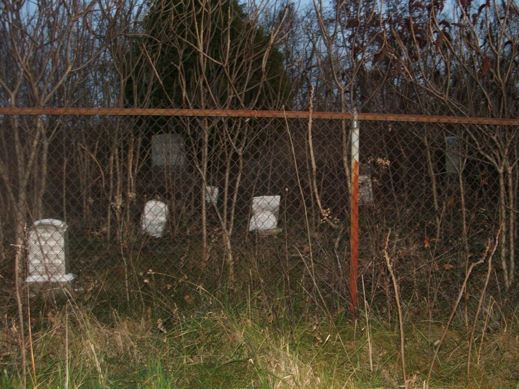
Kays - Duggins Family Cemetery
Battle, Washington County, Kentucky, USA
About
-
Get directions Kays Lane off Battle Rd /HY 1586
Battle, Kentucky, USACoordinates: 37.76800, -85.01864 - Cemetery ID:
Members have Contributed
Advertisement
Photos

Here is a map, look at the far east part
of map. The cemetery doesn't show on
this map. Hwy #1586 is the same as
Battle Rd. You can see Kays Rd just
underneath the town "Battle". Your
cemetery is located on the end of Kays
Rd. near the Mercer line.
http://ukcc.uky.edu/maps/ghm1999/washington.gif
Here is a map, look at the far east part
of map. The cemetery doesn't show on
this map. Hwy #1586 is the same as
Battle Rd. You can see Kays Rd just
underneath the town "Battle". Your
cemetery is located on the end of Kays
Rd. near the Mercer line.
http://ukcc.uky.edu/maps/ghm1999/washington.gif
Nearby cemeteries
Harrodsburg, Mercer County, Kentucky, USA
- Total memorials43
- Percent photographed26%
- Percent with GPS0%

Washington County, Kentucky, USA
- Total memorials40
- Percent photographed93%
- Percent with GPS15%
Battle, Washington County, Kentucky, USA
- Total memorials3
- Percent photographed0%
- Percent with GPS0%

Willisburg, Washington County, Kentucky, USA
- Total memorials444
- Percent photographed75%
- Percent with GPS1%
- Added: 20 Jun 2009
- Find a Grave Cemetery ID: 2310803

Cemetery Photos
This is a carousel with slides. Use Next and Previous buttons to navigate, or jump to a slide with the slide dots. Use Escape keyboard button or the Close button to close the carousel.

Success
Uploading...
Waiting...
Failed
This photo was not uploaded because this cemetery already has 20 photos
This photo was not uploaded because you have already uploaded 5 photos to this cemetery
This photo was not uploaded because you have already uploaded 5 photos to this cemetery
Invalid File Type
Birth and death years unknown.
1 photo picked...
2 photos picked...
Uploading 1 Photo
Uploading 2 Photos
1 Photo Uploaded
2 Photos Uploaded
Size exceeded
Too many photos have been uploaded
"Unsupported file type"
• ##count## of 0 memorials with GPS displayed. Double click on map to view more.No cemeteries found