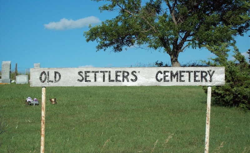
Old Settlers Cemetery
Anoka, Boyd County, Nebraska, USA
About
-
Get directions SE corner of 485 Ave and 907 Rd.
Anoka, Nebraska, USACoordinates: 42.97310, -98.80060 - Cemetery ID:
Members have Contributed
Advertisement
Photos

Boyd, NE, in NW corner of Section 36, Twp. 35, R13W.
Founding members, 18 July 1910: Mrs. Hanna Anderson, John Anderson,
MrMrs Nels P. Brood, Mr. H. Gustafson, John Hammerlun, Olaf Munson,
J. A. Nordquist, L. A. Nordquist, Thomas Trued Olson, Axel Peterson,
Peter Thurstenson.
A cemetery association established by descendants of those interred
funds the maintenance conducted by the nearby town of Butte. Messiah
Lutheran congregation started (as a sod church, 1894-99) on a ridge
just south of Old Settlers Cemetery.
Location: SE corner of 485 Ave and 907 Rd. Directions: Kenton Road
north out of Anoka; turn onto 906 Road proceeding 1 mile to 485 Ave,
then 1 mile north. Route: After going through Anoka on the oil road
to the east, 1/2 mi. North, 1 1/2 mi. East, and 1 mi. North. Description:
from town there is a good oil road swinging a bit E and N, take it up
the hill (NE of town) and basically follow it, heading N, then
veering E, then a definite turn left to the N; after a hill or two,
cemetery clearly visible at about 500 yards on the right of the road.
There are at least 9 unmarked graves. From lawyer Carl Schuman in
Butte, copied by Ethel (Anderson) Schuman in 1965, there is a hand-
drawn map and listings of names marked 'From the desk of Oscar
Peterson'. What the numbers after the names are is uncertain. There
might also have been another similar if not identical map entitled
'Old Settlers Cemetery Sect 36-35-13 Boyd Co. Nebr. CW Whitehorn,
Surveyor', which is a bit hard to read and no date indications of the
map itself.
By Wade, with thanks to Duane Anderson, also to Joe Thurstenson.
Records indicate plots were taken, but may not indicate actual burials. There is some cross over between Anoka Lutheran Cemetery and Old Settlers Cemetery, Anoka.
Nearby cemeteries

Anoka, Boyd County, Nebraska, USA
- Total memorials15
- Percent photographed87%
- Percent with GPS0%

Gregory County, South Dakota, USA
- Total memorials78
- Percent photographed45%
- Percent with GPS0%
Fairfax, Gregory County, South Dakota, USA
- Total memorials7
- Percent photographed0%
- Percent with GPS0%

Boyd County, Nebraska, USA
- Total memorials51
- Percent photographed78%
- Percent with GPS0%
- Added: 1 Jan 2000
- Find a Grave Cemetery ID: 101078

Cemetery Photos
This is a carousel with slides. Use Next and Previous buttons to navigate, or jump to a slide with the slide dots. Use Escape keyboard button or the Close button to close the carousel.

Success
Uploading...
Waiting...
Failed
This photo was not uploaded because this cemetery already has 20 photos
This photo was not uploaded because you have already uploaded 5 photos to this cemetery
This photo was not uploaded because you have already uploaded 5 photos to this cemetery
Invalid File Type
Birth and death years unknown.
1 photo picked...
2 photos picked...
Uploading 1 Photo
Uploading 2 Photos
1 Photo Uploaded
2 Photos Uploaded
Size exceeded
Too many photos have been uploaded
"Unsupported file type"
• ##count## of 0 memorials with GPS displayed. Double click on map to view more.No cemeteries found