Mount Herman Cemetery
Cedar Township, Pettis County, Missouri, USA
About
-
- Cemetery ID:
Members have Contributed
Advertisement
Photos


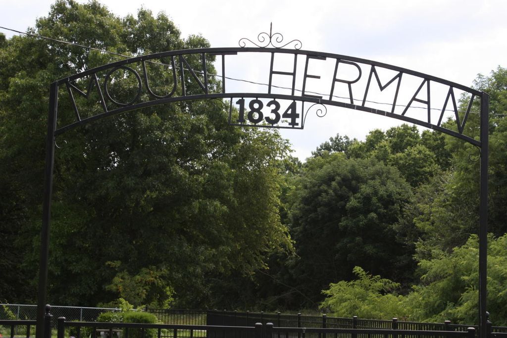
In 1887, Mount Herman Baptist Church and Cemetery were established at the same location. Both have continued to the present day and are still very active. Over the years the original log building disappeared and the current church is a white frame building. The oldest graves are to the north of the church building, with newer sections on the east and west sides. There is a variety of mostly-modest grave markers, and also numerous unmarked graves. Many extended families have continued to be buried here for several generations, and may have several different family plots. An ornamental metal gate and fence extending from the church building surround the cemetery. There is a sign in front relating the history of the church and cemetery, and a smaller sign near the gate with hours for church services.
The church and cemetery are located on Mt. Herman Road in Cedar Township, 3.5 miles north of the northern town limit of Sedalia. They are in a rural area surrounded by farmland and woods, but close to Highway 65, from which they can be accessed coming from either the north or the south. There is a street sign attached to a stop sign at the turn-off for Mt. Herman Road, which extends east from Highway 65. Just south of the intersection and a few feet off the road, there is also a white large sign pointing the direction to the church and cemetery. The church and cemetery are easily sighted immediately to the north of Mt. Herman Road, about one-third mile from the highway and up a slight hill.
Nearby cemeteries

Pettis County, Missouri, USA
- Total memorials21
- Percent photographed71%
- Percent with GPS0%

Georgetown, Pettis County, Missouri, USA
- Total memorials186
- Percent photographed32%
- Percent with GPS1%

Hughesville, Pettis County, Missouri, USA
- Total memorials9
- Percent photographed78%
- Percent with GPS0%
- Added: 4 Mar 2002
- Find a Grave Cemetery ID: 1127365

Cemetery Photos
This is a carousel with slides. Use Next and Previous buttons to navigate, or jump to a slide with the slide dots. Use Escape keyboard button or the Close button to close the carousel.


Success
Uploading...
Waiting...
Failed
This photo was not uploaded because this cemetery already has 20 photos
This photo was not uploaded because you have already uploaded 5 photos to this cemetery
This photo was not uploaded because you have already uploaded 5 photos to this cemetery
Invalid File Type
Birth and death years unknown.
1 photo picked...
2 photos picked...
Uploading 1 Photo
Uploading 2 Photos
1 Photo Uploaded
2 Photos Uploaded
Size exceeded
Too many photos have been uploaded
"Unsupported file type"
• ##count## of 0 memorials with GPS displayed. Double click on map to view more.No cemeteries found