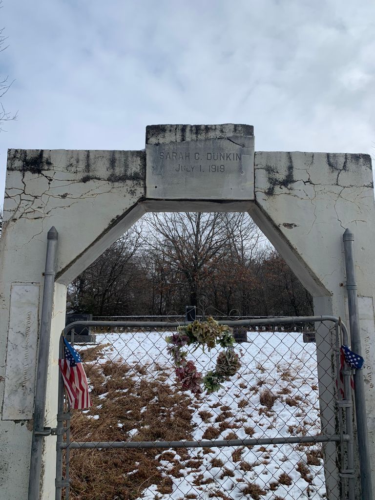
Dunkin Cemetery
Ripley, Payne County, Oklahoma, USA

Directions: take State Highway 18 South to Mehan Road, turn west on Mehan Road, turn south on Clay Road. The cemetery is located on the east side of Clay Road.
Directions: take State Highway 18 South to Mehan Road, turn west on Mehan Road, turn south on Clay Road. The cemetery is located on the east side of Clay Road.
Nearby cemeteries

Ripley, Payne County, Oklahoma, USA
- Total memorials38
- Percent photographed58%
- Percent with GPS29%

Cushing, Payne County, Oklahoma, USA
- Total memorials157
- Percent photographed97%
- Percent with GPS48%

Ripley, Payne County, Oklahoma, USA
- Total memorials662
- Percent photographed81%
- Percent with GPS2%

Cushing, Payne County, Oklahoma, USA
- Total memorials404
- Percent photographed96%
- Percent with GPS87%
- Added: 1 Jan 2000
- Find a Grave Cemetery ID: 98315

Cemetery Photos
This is a carousel with slides. Use Next and Previous buttons to navigate, or jump to a slide with the slide dots. Use Escape keyboard button or the Close button to close the carousel.

Success
Uploading...
Waiting...
Failed
This photo was not uploaded because this cemetery already has 20 photos
This photo was not uploaded because you have already uploaded 5 photos to this cemetery
This photo was not uploaded because you have already uploaded 5 photos to this cemetery
Invalid File Type
Birth and death years unknown.
1 photo picked...
2 photos picked...
Uploading 1 Photo
Uploading 2 Photos
1 Photo Uploaded
2 Photos Uploaded
Size exceeded
Too many photos have been uploaded
"Unsupported file type"
• ##count## of 0 memorials with GPS displayed. Double click on map to view more.No cemeteries found