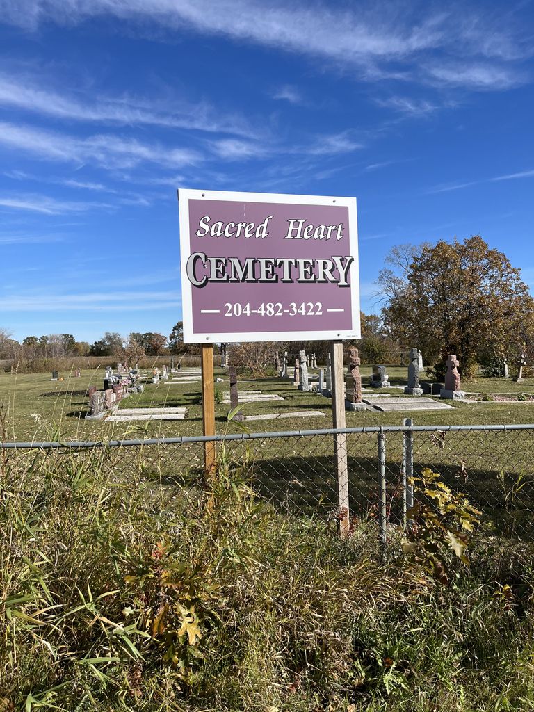
Sacred Heart Cemetery
Also known as Sacred Heart Roman Catholic Cemetery , Sacred Heart Chapel Victoria Park Cemetery
Rossdale, Selkirk Census Division, Manitoba, Canada
About
-
Get directions 449 Church Road W #419
Rossdale, RM of St Andrews, Manitoba
R1A 3G4 CanadaCoordinates: 50.08943, -97.01124 - www.ndparish.ca/stannes/index.htm
- [email protected]
- +1-204-482-3422
-
Office Address
Notre Dame Church
269 Jemima Street
Selkirk, Manitoba
R1A 1W9 Canada - Cemetery ID:
-
Additional information
Located on the "north" side of Church Road West, 380 metres (about 0.25 m) west of the junction with McPhillips Road (aka Provincial Road 230).
There is no network of improved roadways providing vehicular access to the grounds.
Now managed by staff and clergy from the Notre Dame Church in Selkirk, MB, burial records can be consulted by contacting the Parish Office there.
Members have Contributed
Advertisement
Photos

Sacred Heart Chapel — Victoria Park (was) located on Church Road on two acres of land donated by Phillip Danko in 1909. The first church was built in 1909. The first members and all founders of the church were: Frank Gusnowsky, Steve Gusnowsky, Walter Evaskavich, Phillip Danko, Samuel Sobkovich, Stanley Sobkovich, Martin Lakusciak, Joe Galant Sr., Frank Esaak, Keaton Hochkevich, and Michael Popp; eleven families in all. Five years later, in 1914, the first church was dismantled and a new and larger church was built on the same site; again with all volunteer labour. In 1937, the second church was dismantled and the present larger church was built on the same site.
Services were held regularly until New Year's Day, January 1, 1977. The cemetery remains in use although the church no longer holds regular services.
(Source: Beyond the Gates of Lower Fort Garry 1880-1981, p 56 [1981; Adapted])
After being unused for a number of years, a decision was made to sell the building. During the demolition, the cornerstone was opened and a document was found (and is depicted in the book).
(Source: Beyond the Gates of Lower Fort Garry - A Sequel, p 53 [1991; Adapted])
~~~~~~~~~~
Dominion Land Survey coordinates: LSD15-08-13-04-E1
In the Rural Municipality of St Andrews
~~~~~~~~~~
As noted above, a part of the parish's story, and those of its parishioners through roughly 1991 is told in the two cited volumes. Free digital versions of these and many other Manitoba local history books can be found online in the University of Manitoba Digital Collections. There is also a list of such books organized by district and town name on the Manitoba Historical Society's website on their page entitled "Finding Aid: Manitoba Local History Books".
A list of burials in this cemetery is available from the Manitoba Genealogical Society (reference #0229), transcribed by a member or members in 1986 and updated in 1995 and 2019. Also available to MGS members is a searchable online database named the "MGS Manitoba Name Index" (or MANI). Some additional information is contained in the 1996 MGS publication "Carved in Stone: Manitoba Cemeteries and Burial Sites" (revised edition, Special Projects Publication, 106 pages).
~~~~~~~~~~
Additionally, the Ogniwo Polish Museum centralizes, curates and makes available extensive records from various groups related to the communities established by the families of Polish descent who settled lived in, died in, or contributed to the story of Manitoba.
Nearby cemeteries

Rossdale, Selkirk Census Division, Manitoba, Canada
- Total memorials266
- Percent photographed96%
- Percent with GPS1%

Rossdale, Selkirk Census Division, Manitoba, Canada
- Total memorials26
- Percent photographed96%
- Percent with GPS96%
Rossdale, Selkirk Census Division, Manitoba, Canada
- Total memorials0
- Percent photographed0%
- Percent with GPS0%

Saint-Andrews, Selkirk Census Division, Manitoba, Canada
- Total memorials1k+
- Percent photographed92%
- Percent with GPS68%
- Added: 2 May 2015
- Find a Grave Cemetery ID: 2577673

Cemetery Photos
This is a carousel with slides. Use Next and Previous buttons to navigate, or jump to a slide with the slide dots. Use Escape keyboard button or the Close button to close the carousel.

Success
Uploading...
Waiting...
Failed
This photo was not uploaded because this cemetery already has 20 photos
This photo was not uploaded because you have already uploaded 5 photos to this cemetery
This photo was not uploaded because you have already uploaded 5 photos to this cemetery
Invalid File Type
Birth and death years unknown.
1 photo picked...
2 photos picked...
Uploading 1 Photo
Uploading 2 Photos
1 Photo Uploaded
2 Photos Uploaded
Size exceeded
Too many photos have been uploaded
"Unsupported file type"
• ##count## of 0 memorials with GPS displayed. Double click on map to view more.No cemeteries found