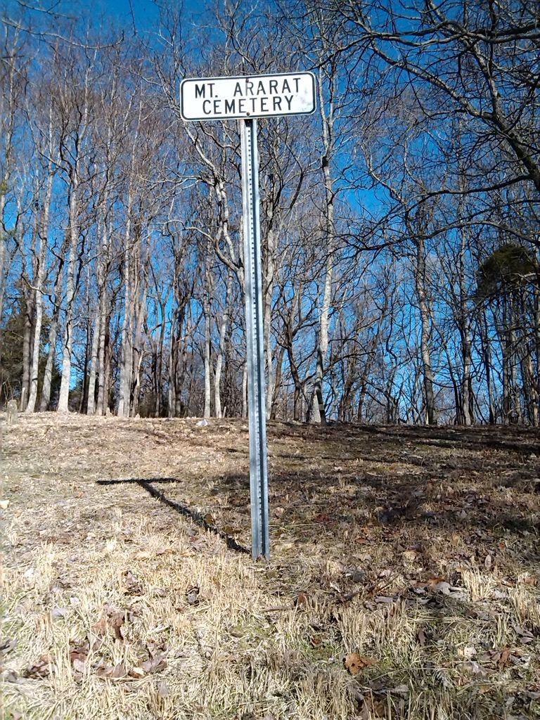
Mount Ararat Cemetery
Columbia, Maury County, Tennessee, USA
About
-
- Cemetery ID:
Members have Contributed
Advertisement
Photos
The cemetery was the site of Mt Ararat Baptist Church (called "Mt. Airy"). The church burned down in the late 1940's. This cemetery is on the land that Mumford Green got after the end of slavery. Note: about a third of Mumford's descendants use an E at the end of Green.
From Bear Creek Road (Highway 412 - between Columbia and Highway 65) turn north on Tom Sharp Road (used to be called Green Town Lane) at Randolph Howell Elementary School (next to the road leading to E A Cox Middle School).
The only enroute turn that is needed is at the entrance to Countryside Farm where Tom Sharp turns left onto a poorly kept-up dirt one-lane road (see bottom picture) which is a little under half a mile long. There is one place where there is a fairly steep incline - don't try this in the rainy season as you will slide (trust me). As you come to the end of the road there is a turn at the cemetery. If you feel uncomfortable parking on the road, there is a parking place at the other end of the graveyard.
Special thanks to Dr Carlton C Greene of Baltimore, MD for the historical information on the cemetery and church.
Nearby cemeteries
Maury County, Tennessee, USA
- Total memorials2
- Percent photographed0%
- Percent with GPS0%
Maury County, Tennessee, USA
- Total memorials2
- Percent photographed100%
- Percent with GPS0%
Maury County, Tennessee, USA
- Total memorials2
- Percent photographed0%
- Percent with GPS0%
Maury County, Tennessee, USA
- Total memorials0
- Percent photographed0%
- Percent with GPS0%
- Added: 8 Jan 2015
- Find a Grave Cemetery ID: 2565294
Success
Uploading...
Waiting...
Failed
This photo was not uploaded because this cemetery already has 20 photos
This photo was not uploaded because you have already uploaded 5 photos to this cemetery
This photo was not uploaded because you have already uploaded 5 photos to this cemetery
Invalid File Type
Birth and death years unknown.
1 photo picked...
2 photos picked...
Uploading 1 Photo
Uploading 2 Photos
1 Photo Uploaded
2 Photos Uploaded
Size exceeded
Too many photos have been uploaded
"Unsupported file type"
• ##count## of 0 memorials with GPS displayed. Double click on map to view more.No cemeteries found


