Wilson Cemetery
Also known as Meeteetse Creek Cemetery
Meeteetse, Park County, Wyoming, USA
About
-
- Cemetery ID:
Members have Contributed
Advertisement
Photos


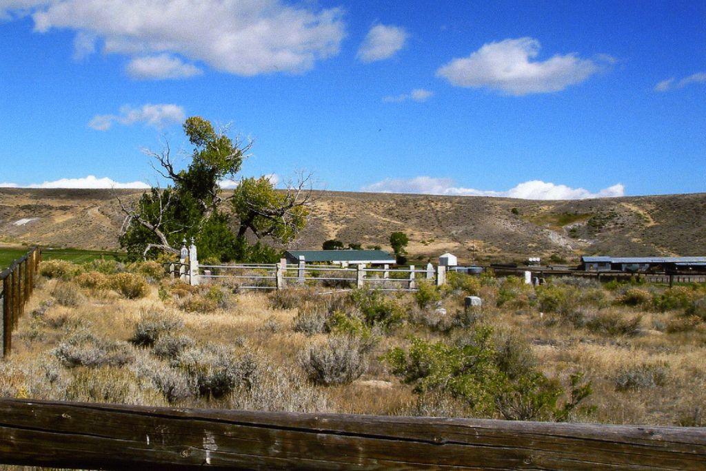
"Ranching in the Upper Greybull Valley started with the founding of the Pitchfork Ranch west of present day Meeteetse by Otto Franc in 1879. The ranch, at the base of the Absaroka Mountains at one time had over 250,000 acres. Besides the Pitchfork, other early ranches in the area included the Two Dot and the T E. The Two Dot was established by H. J. "Two Dot" Wilson."
- from "Big Horn Basin: Wyoming Tales and Trails"
The cemetery is on private land.
Nearby cemeteries

Meeteetse, Park County, Wyoming, USA
- Total memorials951
- Percent photographed89%
- Percent with GPS43%

Meeteetse, Park County, Wyoming, USA
- Total memorials8
- Percent photographed100%
- Percent with GPS100%
Park County, Wyoming, USA
- Total memorials1
- Percent photographed100%
- Percent with GPS100%
Park County, Wyoming, USA
- Total memorials1
- Percent photographed100%
- Percent with GPS100%
- Added: 13 Apr 2013
- Find a Grave Cemetery ID: 2492550

Cemetery Photos
This is a carousel with slides. Use Next and Previous buttons to navigate, or jump to a slide with the slide dots. Use Escape keyboard button or the Close button to close the carousel.


Success
Uploading...
Waiting...
Failed
This photo was not uploaded because this cemetery already has 20 photos
This photo was not uploaded because you have already uploaded 5 photos to this cemetery
This photo was not uploaded because you have already uploaded 5 photos to this cemetery
Invalid File Type
Birth and death years unknown.
1 photo picked...
2 photos picked...
Uploading 1 Photo
Uploading 2 Photos
1 Photo Uploaded
2 Photos Uploaded
Size exceeded
Too many photos have been uploaded
"Unsupported file type"
• ##count## of 0 memorials with GPS displayed. Double click on map to view more.No cemeteries found