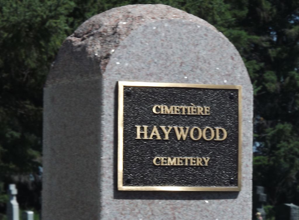
Haywood Cemetery
Also known as Haywood St Denis Roman Catholic Cemetery , Haywood Roman Catholic Cemetery , Cimetière de Haywood , Cimetière catholique de la paroisse de Saint-Denis , Cimetière catholique de l'Îsle-des-Bois
Haywood, Portage la Prairie Census Division, Manitoba, Canada
About
-
Get directions 39 St Augustine Street
Haywood, Rural Municipality of Grey, Manitoba
R0G 0W0 CanadaCoordinates: 49.66985, -98.19648 - www.stdenishaywoodmb.ca/
- [email protected]
- +1-204-379-2175
-
Office Address
Paroisse de / Saint-Denis Parish (Haywood)
53 St Augustine Street
CP 58 / PO Box 58
Haywood, Rural Municipality of Grey, Manitoba
R0G 0W0 Canada - Cemetery ID:
-
Additional information
Located in the community of Haywood, MB, behind the Saint-Denis Church and Community Hall on St Augustine Street
There is one roadway providing vehicular access to the centre of the grounds
Burial records can be consulted by contacting the Parish Secretary
Members have Contributed
Advertisement
Photos


Over 100 years ago, the Southwestern Colonization Railroad Company (which eventually became the Canadian Pacific Railway) established a railroad siding and named it Haywood. One theory as to how the railroad company came up with the name is that the landscape was alternately wooded and grassy and thus the descriptive name Haywood was adopted. The area was previously known as "l'Îsle-des-Bois" (meaning island of wood) by some early Savoyard pioneers from France who had settled in the area around 1904. Another theory as to the origin of the name Haywood is that some pioneers from Savoie and Brittanny, France, gave the community its name in honour of an English benefactor.
Around 1880, a small group of people had already settled in the area, Some of the Métis and French-Canadians of that era were: John Barnes, François Carriere, George Dale, Louis and Michel Gagnon, Richard and William Grant, and Guillaume Ouelette. Among the Savoyards from France who came in 1904 were: Maurice Fay and Jean Louis Picton from Jarrier, France. Maurice Fay returned to France for two years and in returned with six others.
From the north of France came the Marquis Henri de Jocas and other families. From Nantes, France came the Jaquat brothers, who were known as excellent bakers.
It is said that by 1909, the community of Haywood had approximately fifty-two families most of whom were of the Roman Catholic faith. On April 6, 1909, after a petition of thirty-two catholics, Monseigneur Langevin named I'abbé Maurice Pierquin, missionary father of the "Mission de Haywood placée sous le vocable de Saint-Denis."
On April 17, l'abbé Pierquin gathered the people at the store, which was then owned by Eugène Bazin. A committee was organized to build a church. This committee consisted of: François Gautron, Eugène Bazin. Maurice Faye, Jean-Louis Picton, and Elie Dagesse. It was decided to build a church on a piece of land donated by Eugène Bazin. On May 9, 1909, l'abbé Pierquin blessed the cornerstone of the church.
(Source: Haywood History 1907-2007, pp 2f, [2007; Adapted])
In 1906 the Rural Municipality of Grey was formed, separating from the northern portion of the Rural Municipality of Dufferin. The RM of Grey was named after the Governor-General of Canada at the time, Albert Henry George Grey, the fourth Earl of Grey. The first meeting was held on March 13, 1906, in Whitlam's Hall in the Village of Elm Creek.
The Municipality is made up of 10 geographic townships extending 19.2 kilometres (12 miles) from north to south and 48 kilometres (30 miles) from east to west. The original settlers in the region were mostly French-Canadian, French, and to a lesser extent of English descent. The Métis community has also had, at times, a strong influence in the community. The turn of the (twentieth) century saw a larger immigration of people from different parts of Europe. Immigrants from Belgium, the Netherlands, the Ukraine, and other Slavic countries moved in to locate on prime farmland.
(Source: Rural Municipality of Grey website [2024/02; Adapted])
~~~~~~~~~~
Established in 1923.
(Source: Manitoba Genealogical Society [Adapted])
NOTE: When the community's old cemetery was desanctified, many sets of remains and related markers for burials that occurred prior to 1923 were removed to this location
~~~~~~~~~~
Dominion Land Survey coordinates: LSD07-22-08-06-W1
In the Rural Municipality of Grey
~~~~~~~~~~
As noted above, a part of the community's story, and those of its inhabitants, from the early days of European settlement through roughly 2007 is told in the volume "Haywood History 1907-2007". Reflecting the fact the area was part of its jurisdiction until 1906, another part of the community's story is told in the book "The Rural Municipality of Dufferin 1880-1980".
Free digital versions of these and many other Manitoba local history books can be found online in the University of Manitoba Digital Collections. There is also a list of such books organized by district and town name on the Manitoba Historical Society's website on their page entitled "Finding Aid: Manitoba Local History Books".
A list of burials in this cemetery is available from the Manitoba Genealogical Society (reference #0853), transcribed by a member or members in 1991. Also available to MGS members is a searchable online database named the "MGS Manitoba Name Index" (or MANI). Some additional information is contained in the 1996 MGS publication "Carved in Stone: Manitoba Cemeteries and Burial Sites" (revised edition, Special Projects Publication, 106 pages).
~~~~~~~~~~
Additionally, the South Central Regional Archives Inc. / Archives régionales Centre-Sud Inc. curates and makes available extensive records related to the communities established by the families of the area who contributed to the story of Manitoba.
Further, the St Boniface Historical Society (La Société historique de Saint-Boniface) maintains extensive records of the lives led by and influences of the people in Manitoba who had French ancestry, be it recently from France and Belgium, or by way of Quebec.
Nearby cemeteries

Haywood, Portage la Prairie Census Division, Manitoba, Canada
- Total memorials30
- Percent photographed7%
- Percent with GPS0%

Saint-Claude, Portage la Prairie Census Division, Manitoba, Canada
- Total memorials114
- Percent photographed99%
- Percent with GPS96%

Haywood, Portage la Prairie Census Division, Manitoba, Canada
- Total memorials25
- Percent photographed96%
- Percent with GPS4%

Saint-Claude, Portage la Prairie Census Division, Manitoba, Canada
- Total memorials1k+
- Percent photographed97%
- Percent with GPS94%
- Added: 1 Nov 2012
- Find a Grave Cemetery ID: 2471677

Cemetery Photos
This is a carousel with slides. Use Next and Previous buttons to navigate, or jump to a slide with the slide dots. Use Escape keyboard button or the Close button to close the carousel.


Success
Uploading...
Waiting...
Failed
This photo was not uploaded because this cemetery already has 20 photos
This photo was not uploaded because you have already uploaded 5 photos to this cemetery
This photo was not uploaded because you have already uploaded 5 photos to this cemetery
Invalid File Type
Birth and death years unknown.
1 photo picked...
2 photos picked...
Uploading 1 Photo
Uploading 2 Photos
1 Photo Uploaded
2 Photos Uploaded
Size exceeded
Too many photos have been uploaded
"Unsupported file type"
• ##count## of 0 memorials with GPS displayed. Double click on map to view more.No cemeteries found