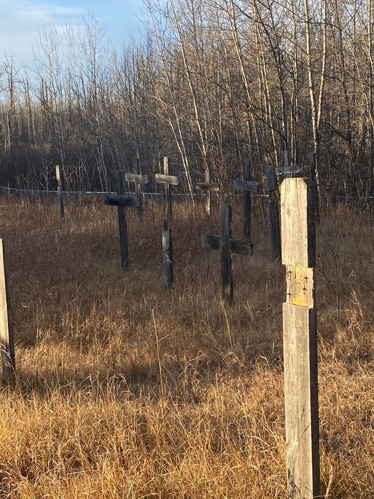
Louis Bull Cemetery
Maskwacis, Red Deer Census Division, Alberta, Canada
Directions: North from the corner of Highway 611 & Range Road 253. Follow 253 past the gas station and convenience store to the stop sign. Turn right onto Township Road 453 (the road is unmarked). Proceed to the next intersection and turn left (onto Peter Bull Drive [also unmarked]; follow the small sign with the arrow that reads "CHURCH"). Follow Peter Bull Drive until you see the church (on the left). Cemetery is on the hill infront of the church.
Directions: North from the corner of Highway 611 & Range Road 253. Follow 253 past the gas station and convenience store to the stop sign. Turn right onto Township Road 453 (the road is unmarked). Proceed to the next intersection and turn left (onto Peter Bull Drive [also unmarked]; follow the small sign with the arrow that reads "CHURCH"). Follow Peter Bull Drive until you see the church (on the left). Cemetery is on the hill infront of the church.
Nearby cemeteries

Wetaskiwin, Edmonton Census Division, Alberta, Canada
- Total memorials294
- Percent photographed94%
- Percent with GPS0%
Maskwacis, Red Deer Census Division, Alberta, Canada
- Total memorials41
- Percent photographed2%
- Percent with GPS0%

Falun, Edmonton Census Division, Alberta, Canada
- Total memorials186
- Percent photographed90%
- Percent with GPS1%

Brightview, Edmonton Census Division, Alberta, Canada
- Total memorials166
- Percent photographed83%
- Percent with GPS1%
- Added: 21 Aug 2012
- Find a Grave Cemetery ID: 2462590

Cemetery Photos
This is a carousel with slides. Use Next and Previous buttons to navigate, or jump to a slide with the slide dots. Use Escape keyboard button or the Close button to close the carousel.
Success
Uploading...
Waiting...
Failed
This photo was not uploaded because this cemetery already has 20 photos
This photo was not uploaded because you have already uploaded 5 photos to this cemetery
This photo was not uploaded because you have already uploaded 5 photos to this cemetery
Invalid File Type
Birth and death years unknown.
1 photo picked...
2 photos picked...
Uploading 1 Photo
Uploading 2 Photos
1 Photo Uploaded
2 Photos Uploaded
Size exceeded
Too many photos have been uploaded
"Unsupported file type"
• ##count## of 0 memorials with GPS displayed. Double click on map to view more.No cemeteries found