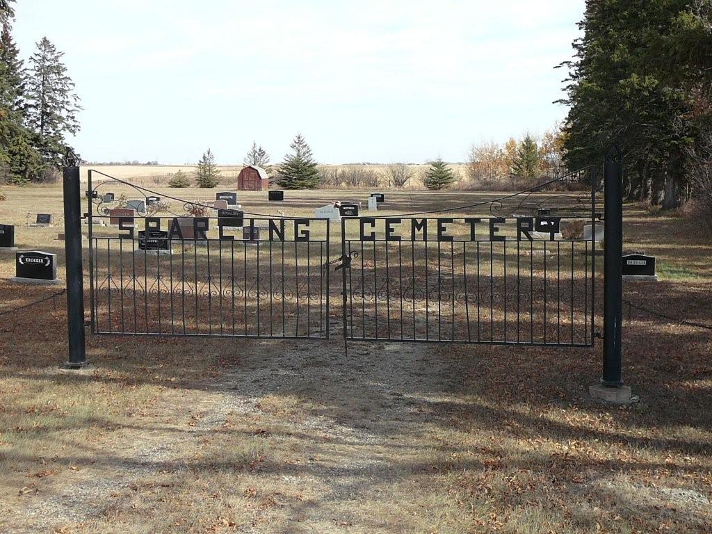
Sparling Cemetery
Also known as Sparling Methodist Cemetery , Elton Cemetery
Elton, Brandon Census Division, Manitoba, Canada
About
-
Get directions 63481 Road 101 W
Justice, RM of Elton, Manitoba
R0K 0R0 CanadaCoordinates: 49.93752, -99.79719 - elton.ca/p/cemeteries
- [email protected]
- +1-204-728-7834
-
Office Address
RM of Elton Office
107129 Road 65 North
Forrest, RM of Elton, Manitoba
R0K 0W0 Canada - Cemetery ID:
-
Additional information
Located about 4 miles (6.4 km) south of the town site of Justice, MB, on the east side of Provincial Road 468, about midway between Provincial Range Roads 63N and 64N
A single unim[roved roadway provides vehicular access to one side of the grounds only.
For queries about burials in this cemetery, the current caretakers of the site can be reached using the information on the RM of Elton website
Members have Contributed
Advertisement
Photos


Sparling Methodist Church was located on SW-19-11-17(-W1), to the north of the present Sparling cemetery. In 1954 it was dismantled and rebuilt in Virden and is now St. Andrew's Presbyterian Church.
Sunday School for the settlers in the original Sparling Community began in the Orange Hall located north of the Powrie buildings on 30-11-17(-W1). In 1899 the Orange Hall Appointment built their first church — a large church with a basement built by a plan whereby each member donated a certain number of acres of wheat to a building fund. It was burned about noon one Sunday in December. 1912, but church services were continued in Mr Sam Askin's older home (out of which they had moved to a new one).
By the summer of 1914, they had renovated the foundation, dividing the basement into a furnace room, kitchen, and dining room. Carpenters erected a lovely building with an arch and folding doors dividing the main floor and Sunday School room. The pulpit was a gift from United (then Wesley) College's Dr. Sparling, after whom the church was named. The cornerstone had been laid by "Grandma" Nelson (Debra Shillington), and she donated a lovely Doherty organ.
(Source: A History of Elton Municipality in its First Century - Homesteaders and Homemakers, p 52 [Adapted])
Sparling Cemetery is situated on land donated by Mr. Samuel Askin, of Elton, on 2 acres of his farm. At one time it was known as the Elton Cemetery, but after the Orange Hall Church burnt in 1913, and the new one built, it was called the Sparling Cemetery.
(Source: Manitoba Genealogical Society [Adapted])
This cemetery is situated in the Rural Municipality of Elton. A monument in the cemetery contains the cornerstone from Sparling Methodist Church, which operated at the site from 1914 to 1925, and a commemoration of its predecessor, the Orange Hall Methodist Church (1899-1913).
(Source: Manitoba Historical Society [Adapted])
Dominion Land Survey coordinates: LSD05-19-11-17-W1
As noted above, a part of the town's story and those of its inhabitants from the early days of European settlement through roughly 1973 is told in the volume "A History of Elton Municipality in its First Century - Homesteaders and Homemakers", especially starting on page 52. A free digital version of this and many other Manitoba local history books can be found online in the University of Manitoba Digital Collections. There is also a list of such books organized by district and town name on the Manitoba Historical Society's website on their page entitled "Finding Aid: Manitoba Local History Books".
A list of burials in this cemetery is available from the Manitoba Genealogical Society (reference #0138), transcribed by a member or members in 1979. Also available to MGS members is a searchable online database named the "MGS Manitoba Name Index" (or MANI). Some additional information is contained in the 1996 MGS publication "Carved in Stone: Manitoba Cemeteries and Burial Sites" (revised edition, Special Projects Publication, 106 pages).
Additionally, many records for defunct United congregations in Manitoba, and those of the sects that merged to form it, are now kept in their main offices in Toronto, Ontario, Canada.
Nearby cemeteries

Douglas, Brandon Census Division, Manitoba, Canada
- Total memorials617
- Percent photographed93%
- Percent with GPS6%

Elton, Brandon Census Division, Manitoba, Canada
- Total memorials263
- Percent photographed94%
- Percent with GPS17%

Chater, Brandon Census Division, Manitoba, Canada
- Total memorials104
- Percent photographed85%
- Percent with GPS29%

Brandon, Brandon Census Division, Manitoba, Canada
- Total memorials1k+
- Percent photographed20%
- Percent with GPS12%
- Added: 19 May 2010
- Find a Grave Cemetery ID: 2354823

Cemetery Photos
This is a carousel with slides. Use Next and Previous buttons to navigate, or jump to a slide with the slide dots. Use Escape keyboard button or the Close button to close the carousel.


Success
Uploading...
Waiting...
Failed
This photo was not uploaded because this cemetery already has 20 photos
This photo was not uploaded because you have already uploaded 5 photos to this cemetery
This photo was not uploaded because you have already uploaded 5 photos to this cemetery
Invalid File Type
Birth and death years unknown.
1 photo picked...
2 photos picked...
Uploading 1 Photo
Uploading 2 Photos
1 Photo Uploaded
2 Photos Uploaded
Size exceeded
Too many photos have been uploaded
"Unsupported file type"
• ##count## of 0 memorials with GPS displayed. Double click on map to view more.No cemeteries found