Pine Falls Cemetery
Also known as Pine Falls Community Cemetery
Pine Falls, Eastern Manitoba Census Division, Manitoba, Canada
About
-
Get directions Letander Road
Powerview-Pine Falls, Manitoba
R0E 1M0 CanadaCoordinates: 50.56977, -96.23296 - www.powerview-pinefalls.com/contact-numbers
- [email protected]
- +1-204-367-8483
-
Office Address
277B Main Street
Box 220
Powerview-Pine Falls, Manitoba
R0E 1P0 Canada - Cemetery ID:
-
Additional information
Located to the NW of the Pine Falls neighbourhood of Powerview-Pine Falls, MB, north of the junction of Provincial Highway 11 and Letander Road, on the east side of the roadway
A limited network of mostly unimproved roadways provides vehicular access to the grounds.
Burial records can be consulted by reaching out to the Town staff.
Members have Contributed
Advertisement
Photos


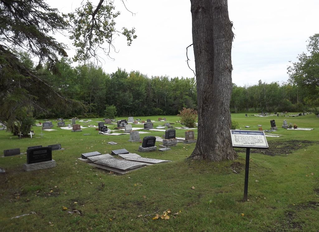
Established in 1927
(Source: Manitoba Genealogical Society [Adapted])
This cemetery was dedicated in 1927 by the Spanish River Pulp and Paper Company.
(Source: Manitoba Historical Society [Adapted])
Dominion Land Survey coordinates: LSD12-25-18-09-E1
In the Town of Powerview-Pine Falls
A part of the town's story and those of its inhabitants from the early days of European settlement through roughly 2002 is told in the volume "First Fifty Years - A Pine Falls History", especially starting on page nnn, and in a related booklet entitled "Early days in Pine Falls".
Free digital versions of these and many other Manitoba local history books can be found online in the University of Manitoba Digital Collections. There is also a list of such books organized by district and town name on the Manitoba Historical Society's website on their page entitled "Finding Aid: Manitoba Local History Books".
A list of burials in this cemetery is available from the Manitoba Genealogical Society (reference #0841), transcribed by a member or members in 1994 and updated in 2001. Also available to MGS members is a searchable online database named the "MGS Manitoba Name Index" (or MANI). Some additional information is contained in the 1996 MGS publication "Carved in Stone: Manitoba Cemeteries and Burial Sites" (revised edition, Special Projects Publication, 106 pages).
Nearby cemeteries

Fort Alexander, North East Manitoba Census Division, Manitoba, Canada
- Total memorials32
- Percent photographed0%
- Percent with GPS0%

Powerview, Eastern Manitoba Census Division, Manitoba, Canada
- Total memorials142
- Percent photographed87%
- Percent with GPS1%

Saint-Georges, Eastern Manitoba Census Division, Manitoba, Canada
- Total memorials475
- Percent photographed97%
- Percent with GPS9%

Fort Alexander, North East Manitoba Census Division, Manitoba, Canada
- Total memorials55
- Percent photographed9%
- Percent with GPS0%
- Added: 27 Oct 2009
- Find a Grave Cemetery ID: 2329048

Cemetery Photos
This is a carousel with slides. Use Next and Previous buttons to navigate, or jump to a slide with the slide dots. Use Escape keyboard button or the Close button to close the carousel.


Success
Uploading...
Waiting...
Failed
This photo was not uploaded because this cemetery already has 20 photos
This photo was not uploaded because you have already uploaded 5 photos to this cemetery
This photo was not uploaded because you have already uploaded 5 photos to this cemetery
Invalid File Type
Birth and death years unknown.
1 photo picked...
2 photos picked...
Uploading 1 Photo
Uploading 2 Photos
1 Photo Uploaded
2 Photos Uploaded
Size exceeded
Too many photos have been uploaded
"Unsupported file type"
• ##count## of 0 memorials with GPS displayed. Double click on map to view more.No cemeteries found