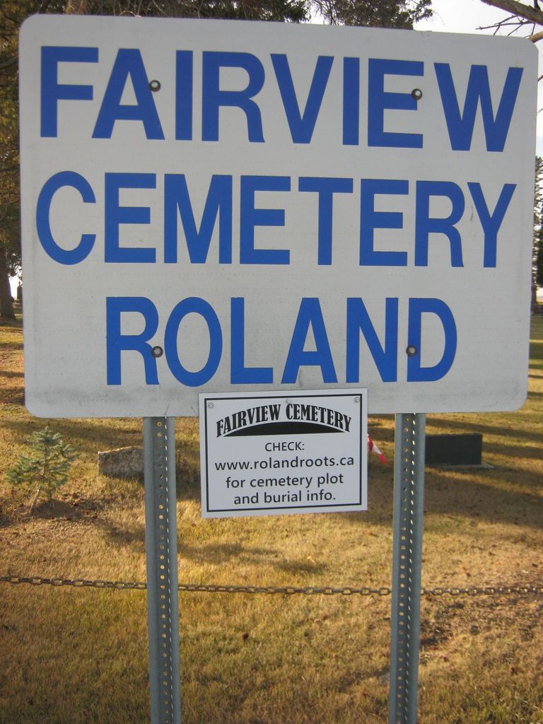
Fairview Cemetery
Also known as Roland Cemetery
Roland, Pembina Valley Census Division, Manitoba, Canada
About
-
Get directions 25136 Provincial Road 21W
Roland, Rural Municipality of Roland, Manitoba
R0G 1T0 CanadaCoordinates: 49.38181, -97.93454 - rolandroots.pbworks.com/f/site/index.html
- [email protected]
- +1-204-343-2001
-
Office Address
Fairview Cemetery Board
c/o Rural Municipality of Roland
PO Box 119
Roland, Rural Municipality of Roland, Manitoba
R0G 1T0 Canada - Cemetery ID:
-
Additional information
Located less than 1.0 miles (1.6 km) north of the community of Roland, MB, on the west side of Provincial Road 21W, just south of the junction with Provincial Range Road 26N
A network of minimally maintained roadways provides vehicular access to the grounds.
The cemetery is managed by a local committee, whose current contact information is available on the RM of Roland website [2024/01].
NOTE: The "Roland Roots" website offers considerable information about the history of the area, including burial records and family histories.
Members have Contributed
Advertisement
Photos


Fairview Cemetery, the resting place of many a pioneer of town and district, receives loving and careful attention each year. As soon as the municipality was formed in 1909, a vote on a local option was passed. This has never been changed up to the present time. The soldiers' monument, erected in 1922, surrounded by well-kept grounds and lovely flowers, is the scene of an annual memorial service.
(Written in 1922).
(Source: Trails of the Pioneers, p 77 [1956; Adapted])
The spruce tree is not commonly found here in the Red River valley but grows well when it is introduced. About the year 1892, some of the residents brought in spruce trees and planted them around the Roland Cemetery known as "Fairview." This makes it one of the most beautiful plots to be found anywhere in the province.
(Source: Trails of the Pioneers, p 93 [1956; Adapted])
~~~~~~~~~~
Established in 1882, this is a public cemetery and it is nicely landscaped with pine trees.
(Source: Manitoba Genealogical Society [Adapted])
The first burial in this cemetery occurred in 1882.
(Source: Manitoba Historical Society [Adapted])
~~~~~~~~~~
Dominion Land Survey coordinates: LSD16-09-05-04-W1
In the Rural Municipality of Roland
~~~~~~~~~~
As noted above, a part of the town's story, and those of its inhabitants, from the early days of European settlement through roughly 1956 is told in the volume "Trails of the Pioneers", especially on the cited pages. There is also a related earlier volume entitled "Illustrated Souvenir of Roland, Manitoba".
Free digital versions of these and many other Manitoba local history books can be found online in the University of Manitoba Digital Collections. There is also a list of such books organized by district and town name on the Manitoba Historical Society's website on their page entitled "Finding Aid: Manitoba Local History Books".
A list of burials in this cemetery is available from the Manitoba Genealogical Society (reference #0111), transcribed by a member or members in 1985. Also available to MGS members is a searchable online database named the "MGS Manitoba Name Index" (or MANI). Some additional information is contained in the 1996 MGS publication "Carved in Stone: Manitoba Cemeteries and Burial Sites" (revised edition, Special Projects Publication, 106 pages).
Nearby cemeteries

Myrtle, Pembina Valley Census Division, Manitoba, Canada
- Total memorials106
- Percent photographed92%
- Percent with GPS6%

Roland, Pembina Valley Census Division, Manitoba, Canada
- Total memorials56
- Percent photographed91%
- Percent with GPS18%
Kronsgart, Pembina Valley Census Division, Manitoba, Canada
- Total memorials2
- Percent photographed0%

Carman, Pembina Valley Census Division, Manitoba, Canada
- Total memorials298
- Percent photographed99%
- Percent with GPS1%
- Added: 26 Aug 2007
- Find a Grave Cemetery ID: 2229348

Cemetery Photos
This is a carousel with slides. Use Next and Previous buttons to navigate, or jump to a slide with the slide dots. Use Escape keyboard button or the Close button to close the carousel.


Success
Uploading...
Waiting...
Failed
This photo was not uploaded because this cemetery already has 20 photos
This photo was not uploaded because you have already uploaded 5 photos to this cemetery
This photo was not uploaded because you have already uploaded 5 photos to this cemetery
Invalid File Type
Birth and death years unknown.
1 photo picked...
2 photos picked...
Uploading 1 Photo
Uploading 2 Photos
1 Photo Uploaded
2 Photos Uploaded
Size exceeded
Too many photos have been uploaded
"Unsupported file type"
• ##count## of 0 memorials with GPS displayed. Double click on map to view more.No cemeteries found