Pleasant Hill Cemetery
Also known as Pleasant Hill Missionary Baptist Church Cemetery
Fulshear, Fort Bend County, Texas, USA
About
-
Get directions 6407 Bois D'Arc Lane (at Red Bird Lane)
Fulshear, Texas, USACoordinates: 29.65590, -95.88242 - Cemetery ID:
Members have Contributed
Advertisement
Photos


This is a Historic cemetery and there is a historic marker
The text of the marker says:
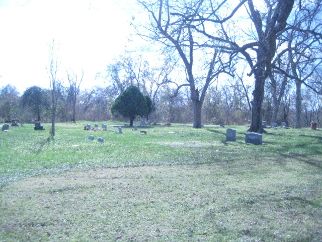
Pleasant Hill Cemetery In 1910, I.G. Mayes conveyed two acres of land from the Mason Briscoe estate to the Pleasant Hill Missionary Baptist Church at this site. Around 1930, community residents and church members began using the land behind the sanctuary as a cemetery. The first marked grave, that of Will Brown, dates to 1933; there is evidence of unmarked graves that may, however, indicate earlier burials. The cemetery, which also served as the site for a school and a church, features many handmade concrete grave markers, as well as veterans' graves. Historic Texas Cemetery - 2002
This is a Historic cemetery and there is a historic marker
The text of the marker says:
Pleasant Hill Cemetery In 1910, I.G. Mayes conveyed two acres of land from the Mason Briscoe estate to the Pleasant Hill Missionary Baptist Church at this site. Around 1930, community residents and church members began using the land behind the sanctuary as a cemetery. The first marked grave, that of Will Brown, dates to 1933; there is evidence of unmarked graves that may, however, indicate earlier burials. The cemetery, which also served as the site for a school and a church, features many handmade concrete grave markers, as well as veterans' graves. Historic Texas Cemetery - 2002
Nearby cemeteries

Fulshear, Fort Bend County, Texas, USA
- Total memorials59
- Percent photographed44%
- Percent with GPS34%

Fulshear, Fort Bend County, Texas, USA
- Total memorials196
- Percent photographed51%
- Percent with GPS3%

Fulshear, Fort Bend County, Texas, USA
- Total memorials10
- Percent photographed70%
- Percent with GPS10%

Richmond, Fort Bend County, Texas, USA
- Total memorials176
- Percent photographed72%
- Percent with GPS80%
- Added: 23 Sep 2003
- Find a Grave Cemetery ID: 1970485

Cemetery Photos
This is a carousel with slides. Use Next and Previous buttons to navigate, or jump to a slide with the slide dots. Use Escape keyboard button or the Close button to close the carousel.


Success
Uploading...
Waiting...
Failed
This photo was not uploaded because this cemetery already has 20 photos
This photo was not uploaded because you have already uploaded 5 photos to this cemetery
This photo was not uploaded because you have already uploaded 5 photos to this cemetery
Invalid File Type
Birth and death years unknown.
1 photo picked...
2 photos picked...
Uploading 1 Photo
Uploading 2 Photos
1 Photo Uploaded
2 Photos Uploaded
Size exceeded
Too many photos have been uploaded
"Unsupported file type"
• ##count## of 0 memorials with GPS displayed. Double click on map to view more.No cemeteries found