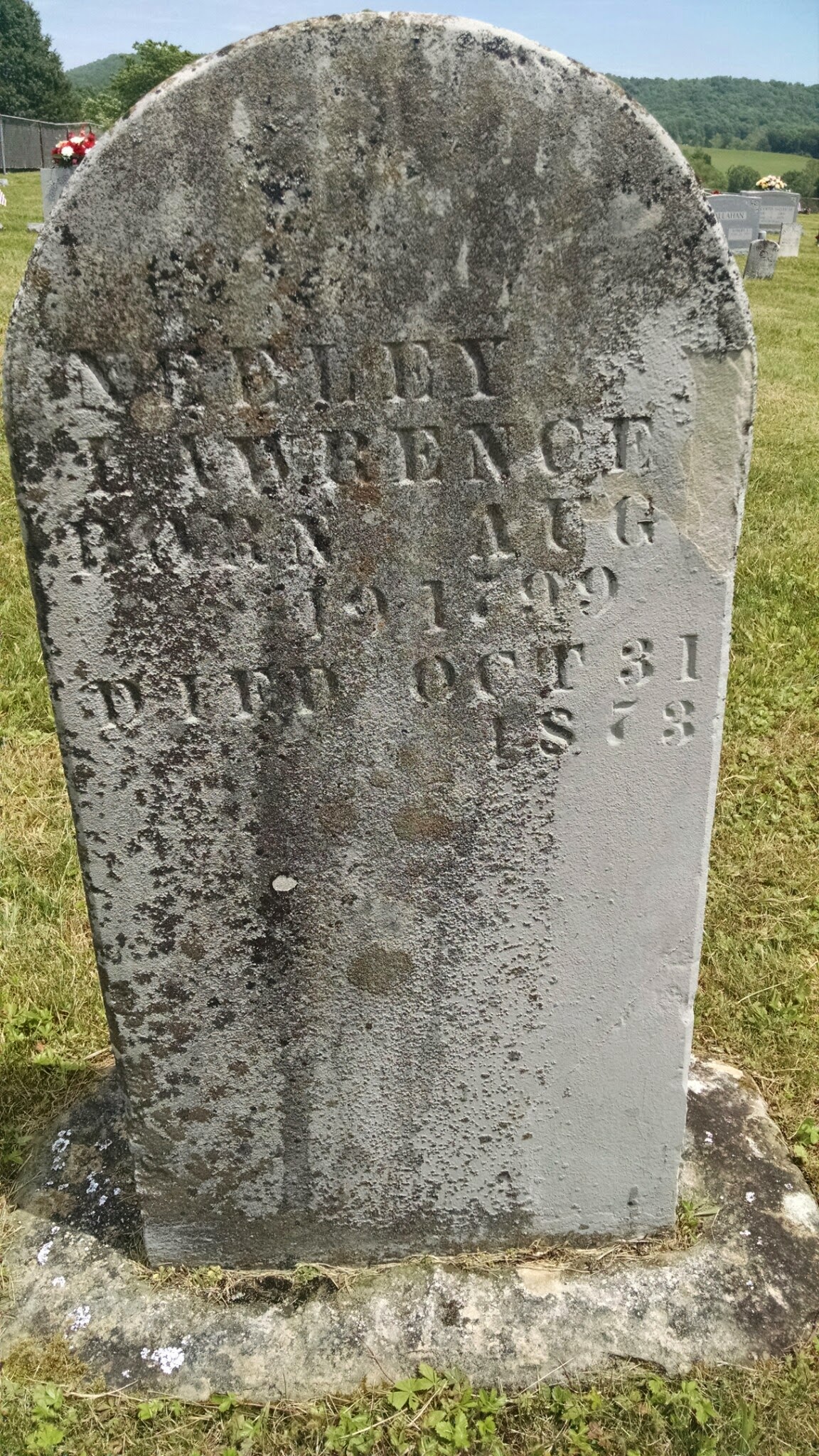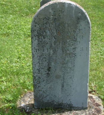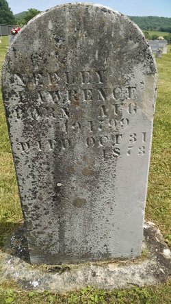
Cornelius "Neely" Lawrence was the son of William Lawrence. Cornelius was born in Montgomery County Virginia on 19 Aug 1799. He spent most of his life in Rockcastle County, Kentucky and it is assumed that he relocated there in 1812 with his father and three siblings Tartulas, Catherine and Mary. He married Elizabeth "Betsey" Nichols, daughter of Thomas and Jemima Moore Nichols, on 9 Nov 1826 in Pulaski County, Kentucky.
Cornelius had 115 acres surveyed on 7 Apr 1824 from land that was originally assigned to John Brown. Warrants and Surveys could be sold, traded or reassigned during the land patenting process with the recipient of the Grant being the one who took title to the land. No documentation has been found which describes the transaction between Cornelius and John Brown which resulted in the transfer of the 115 acres. The land is located about 2/3 of a mile from Highway 461 on Doc Adams Road in western Rockcastle County. On 18 Jul 1827 the land was formally granted to Cornelius and filed under "Grants South of Green River, Patent #16073" and recorded in Grant Book 27, page 319 in the Kentucky Land Office. Cornelius appears on every US Census taken in Rockcastle County from 1830 to 1870.
Cornelius died on 31 Oct 1873 and is buried in the Poplar Grove cemetery in Rockcastle County, Kentucky near the community of Willailla.
Family Members


Advertisement
Advertisement