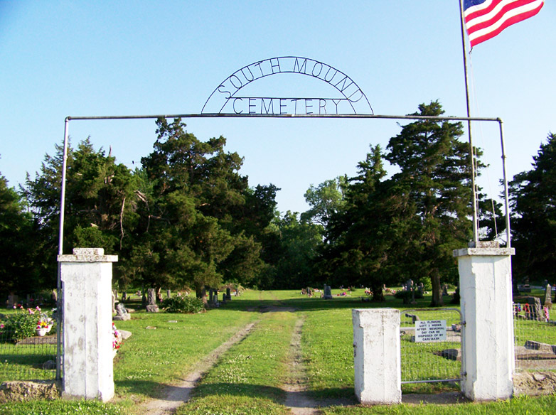
South Mound Cemetery
South Mound, Neosho County, Kansas, USA

1. On US highway 59 about halfway between Erie and Parsons, Kansas. (9 miles South of Erie or 7 miles North of Parsons).
2. Turn East at the South Mound turn-off (40th Road) for 2 miles to Queen Rd.
3. Turn North on Queen Road for one-half mile to 47th Road.
4. Turn East on 47th for three-fourths mile to Republic Road.
5. Turn South on Republic Road for one-tenth mile.
6. Cemetery on East side of road.
Nearby cemeteries

Neosho County, Kansas, USA
- Total memorials45
- Percent photographed78%
- Percent with GPS2%

Neosho County, Kansas, USA
- Total memorials74
- Percent photographed70%
- Percent with GPS0%

Neosho County, Kansas, USA
- Total memorials443
- Percent photographed90%
- Percent with GPS85%

Neosho County, Kansas, USA
- Total memorials289
- Percent photographed91%
- Percent with GPS85%
- Added: 6 Jan 2006
- Find a Grave Cemetery ID: 2162842

Cemetery Photos
This is a carousel with slides. Use Next and Previous buttons to navigate, or jump to a slide with the slide dots. Use Escape keyboard button or the Close button to close the carousel.

Success
Uploading...
Waiting...
Failed
This photo was not uploaded because this cemetery already has 20 photos
This photo was not uploaded because you have already uploaded 5 photos to this cemetery
This photo was not uploaded because you have already uploaded 5 photos to this cemetery
Invalid File Type
Birth and death years unknown.
1 photo picked...
2 photos picked...
Uploading 1 Photo
Uploading 2 Photos
1 Photo Uploaded
2 Photos Uploaded
Size exceeded
Too many photos have been uploaded
"Unsupported file type"
• ##count## of 0 memorials with GPS displayed. Double click on map to view more.No cemeteries found