Bowser Cemetery
Morrows Corner, Armstrong County, Pennsylvania, USA

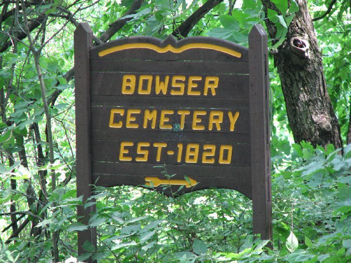
Directions: From Adrian on Reesdale Road, drive east (actually you will be driving north) on Reesedale Road. You will immediately see the Montgomeryville Baptist Church on the left. Go another 0.5 miles on Reesedale Road and turn left on Sharrett Road. There is no sign for "Sharrett Road." but you will see a small sign pointing to the left, and indicating "SHERRETT 4 miles." Drive 1.7 miles on Sharrett Road, then turn right onto Center School Road. Drive 0.4 miles whereupon you will be driving downhill on a very sharp turn to the left on a gravel road. Halfway through this turn you will see the sign for the cemetery on the right side of the road.
Parking on this curve might be dangerous so you might want to drive further down the hill and park on the straightaway. There is a dirt road leading up to the cemetery, but it is meant mostly for ATVs. The cemetery is a short walk from Center School Road anyway. Simply walk up the dirt road for 20 feet, then turn right and walk another 50 feet. You will see the gravestones. There are only three gravestones with a total of five names.
The cemetery is enveloped by woods, but these are nice, "clean" woods with no annoying undergrowth (no briars, and only a minor amount of poison ivy). There is a slight slope, but it is not too bad. It's a two minute walk from Center School Road. The initial hill up from the road is fairly steep for a distance of 10 feet, but there is probably a way around it.
Please note that the cemetery sign is completely invisible to people traveling from the opposite direction on Center School Road.
[Alan Saltsman, July 17, 2009]
Nearby cemeteries
Morrows Corner, Armstrong County, Pennsylvania, USA
- Total memorials5
- Percent photographed20%
Rimer, Armstrong County, Pennsylvania, USA
- Total memorials0
- Percent photographed0%
- Percent with GPS0%

Sherrett, Armstrong County, Pennsylvania, USA
- Total memorials527
- Percent photographed69%
- Percent with GPS1%

Adrian, Armstrong County, Pennsylvania, USA
- Total memorials682
- Percent photographed90%
- Percent with GPS0%
- Added: 16 Jun 2009
- Find a Grave Cemetery ID: 2310107

Cemetery Photos
This is a carousel with slides. Use Next and Previous buttons to navigate, or jump to a slide with the slide dots. Use Escape keyboard button or the Close button to close the carousel.

Success
Uploading...
Waiting...
Failed
This photo was not uploaded because this cemetery already has 20 photos
This photo was not uploaded because you have already uploaded 5 photos to this cemetery
This photo was not uploaded because you have already uploaded 5 photos to this cemetery
Invalid File Type
Birth and death years unknown.
1 photo picked...
2 photos picked...
Uploading 1 Photo
Uploading 2 Photos
1 Photo Uploaded
2 Photos Uploaded
Size exceeded
Too many photos have been uploaded
"Unsupported file type"
• ##count## of 0 memorials with GPS displayed. Double click on map to view more.No cemeteries found