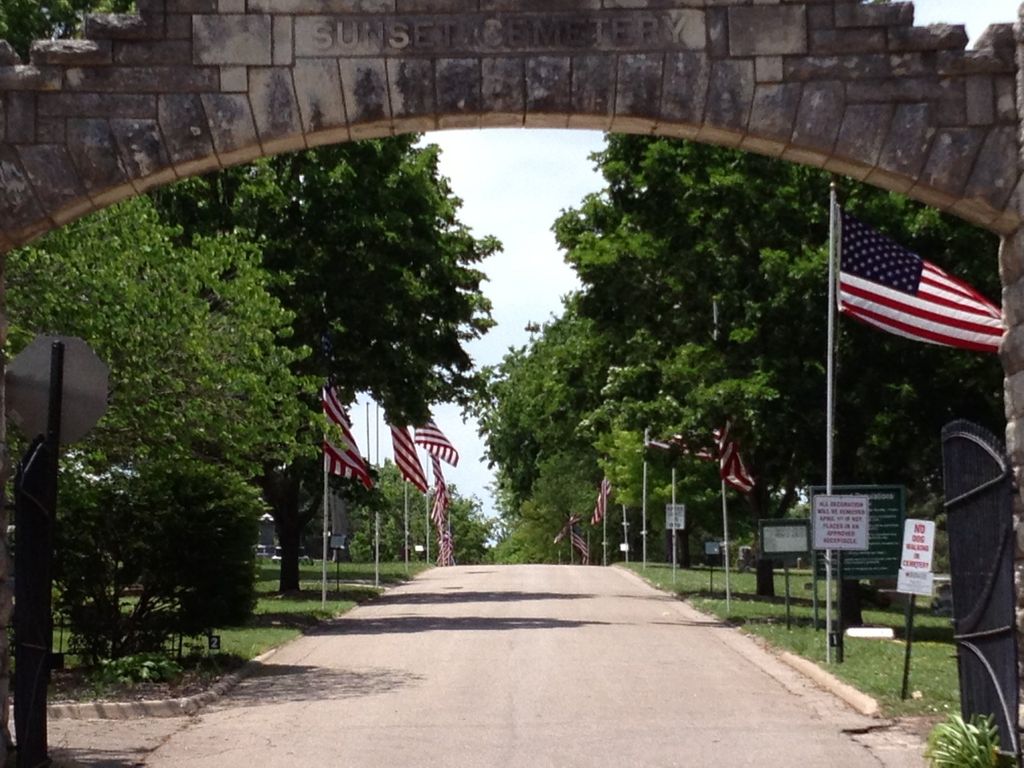
Sunset Cemetery
Manhattan, Riley County, Kansas, USA
About
-
Get directions 2000 Leavenworth Street (785) 587-2780
Manhattan, Kansas 66502 United StatesCoordinates: 39.18138, -96.58893 - Cemetery ID:
Members have Contributed
Advertisement
Photos


The papers for this 35 acres had been issued to Levi Woodman, who transferred it to Otis Wells, who transferred it to Mr. Clark.
When the land was transferred to the city, members of the city council were: Amasa Huntress, N. D. Horton, Charles Waring, Albert Griffin, J. H. Phelps, Charles Briggs, M. L. Essick, Charles Barnes, and R. J. Harper.
In 1870, as part payment for building a stone fence around 20 acres of the cemetery, the city deeded 15 acres to F. B. and J. M. Woodward who later transferred title to George Brown. In 1885, Brown sold this land back to the city, restoring the original acreage.
The first block plotted into burial lots is in the northeast corner of the tract and the second block in the southeast corner. The laying out of blocks proceeded westward until in 1900, when all had been plotted east of the ravine. A $10 prize was offered for the best plan to lay out the area west of the ravine, but there is no record of the city ever awarding the money.
In 1901, the city received 8 acres just north of the northeast corner of the original cemetery from the estate of Benjamin F. Miller, which was to be used for cemetery purposes.
In 1929, the citizens of Manhattan voted to buy an additional 57 acres for the cemetery from Del Wickham.
The circular plot in the cemetery known as Denison Circle was given by Judge and Mrs. Sam Kimble to the Riley County Historical Society, who in 1932, set the granite boulder marker and dedicated it to the memory of the community's pioneers. The Kimbles also gave the land on which the sexton's house stands.
~Pioneers of the Bluestem Prairie, Riley County, pg 316.~
Nearby cemeteries

Manhattan, Riley County, Kansas, USA
- Total memorials7
- Percent photographed86%
- Percent with GPS0%

Manhattan, Riley County, Kansas, USA
- Total memorials9
- Percent photographed78%
- Percent with GPS67%

Manhattan, Riley County, Kansas, USA
- Total memorials3k+
- Percent photographed93%
- Percent with GPS5%
Manhattan, Riley County, Kansas, USA
- Total memorials4
- Percent photographed0%
- Percent with GPS0%
- Added: 1 Jan 2000
- Find a Grave Cemetery ID: 93874

Cemetery Photos
This is a carousel with slides. Use Next and Previous buttons to navigate, or jump to a slide with the slide dots. Use Escape keyboard button or the Close button to close the carousel.


Success
Uploading...
Waiting...
Failed
This photo was not uploaded because this cemetery already has 20 photos
This photo was not uploaded because you have already uploaded 5 photos to this cemetery
This photo was not uploaded because you have already uploaded 5 photos to this cemetery
Invalid File Type
Birth and death years unknown.
1 photo picked...
2 photos picked...
Uploading 1 Photo
Uploading 2 Photos
1 Photo Uploaded
2 Photos Uploaded
Size exceeded
Too many photos have been uploaded
"Unsupported file type"
• ##count## of 0 memorials with GPS displayed. Double click on map to view more.No cemeteries found