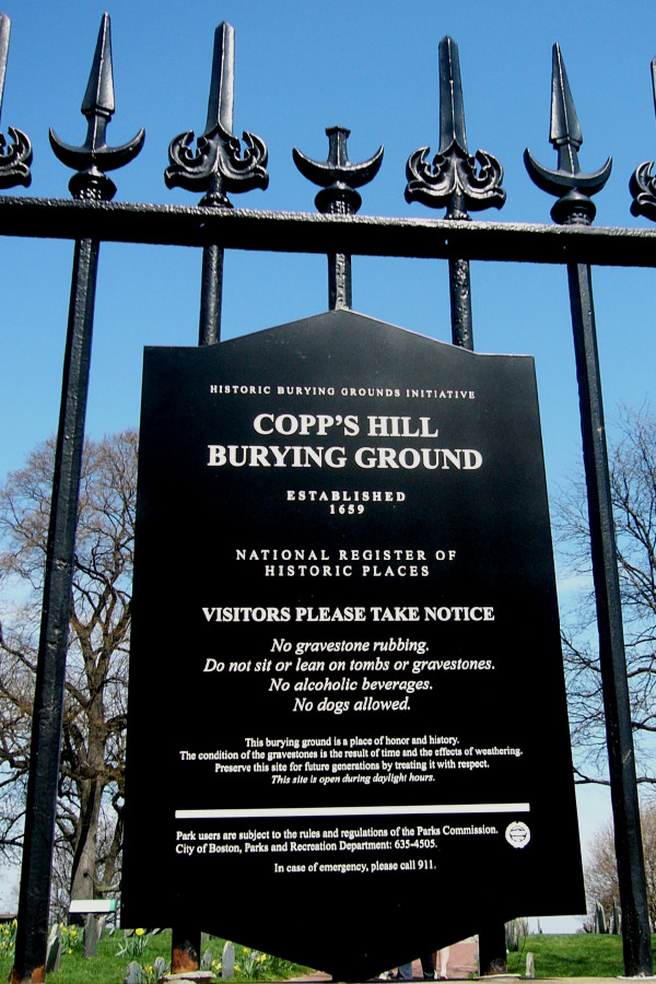
Copp's Hill Burying Ground
Also known as New North Burying Ground , North Burial Ground , North Burying Ground , Old North Burying Ground , Small Ground
Boston, Suffolk County, Massachusetts, USA
About
-
Get directions Hull Street
Boston, Massachusetts 02113 United StatesCoordinates: 42.36701, -71.05608 - www.cityofboston.gov/Parks/HBGI/search.asp
- 617-635-4505
- Cemetery ID:
Members have Contributed
Advertisement
Photos


All of these following lands are inside of Copp's Hill-
New North Burying Ground, Small Ground - On 18 Dec 1809, Capt Jonathan Merry donated a patch of land called Jonathan Merry's Pasture to Copp's Hill for burials. This land was called "New North Burying Ground" and latter called "Small Ground". This land is aligned with Hull St. John Richardson was the first burial 6 Jul 1810 after drowning the day before with the interment tomb being referred to as tomb 1 by the carriers.
Hull St. Cemetery (old) - Was a footpath on Snowhill St leading from Hull St to Charter St. Interments were discontinued in 1853 and all burials were removed Feb 1861 to Mount Hope Cemetery, Mattapan.
Hull Street Cemetery (New/other) - South-east of Small Ground, 55 tombs were built in 1814 by Hon. Charles Wells. This land is facing Hull St and is where the gun house for the Columbian Artillery used to stand. Edward Bell built 15 tombs in 1827 on this parcel of land.
Charter St Burying Ground - In 1819 Hon. Charles Wells built 34 tombs in between this new land and the old land, facing Charter St. This land was referred to as "Charter St. Burying Ground".
Nearby cemeteries

Boston, Suffolk County, Massachusetts, USA
- Total memorials781
- Percent photographed23%
- Percent with GPS5%

Charlestown, Suffolk County, Massachusetts, USA
- Total memorials1
- Percent photographed100%
- Percent with GPS0%

Boston, Suffolk County, Massachusetts, USA
- Total memorials1k+
- Percent photographed29%
- Percent with GPS5%

Charlestown, Suffolk County, Massachusetts, USA
- Total memorials11
- Percent photographed18%
- Percent with GPS0%
- Added: 22 Jul 2001
- Find a Grave Cemetery ID: 640795

Cemetery Photos
This is a carousel with slides. Use Next and Previous buttons to navigate, or jump to a slide with the slide dots. Use Escape keyboard button or the Close button to close the carousel.


Success
Uploading...
Waiting...
Failed
This photo was not uploaded because this cemetery already has 20 photos
This photo was not uploaded because you have already uploaded 5 photos to this cemetery
This photo was not uploaded because you have already uploaded 5 photos to this cemetery
Invalid File Type
Birth and death years unknown.
1 photo picked...
2 photos picked...
Uploading 1 Photo
Uploading 2 Photos
1 Photo Uploaded
2 Photos Uploaded
Size exceeded
Too many photos have been uploaded
"Unsupported file type"
• ##count## of 0 memorials with GPS displayed. Double click on map to view more.No cemeteries found