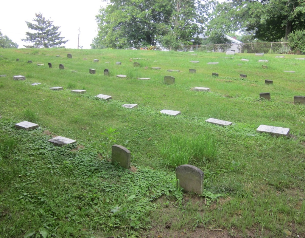
Grange Friends Cemetery
Also known as Concord Cemetery , Grange Cemetery , Negus Cemetery , Old Quaker Cemetery , Quaker Cemetery
Colerain Township, Belmont County, Ohio, USA
About
-
Get directions Vickers Road (Township Road 475)
Colerain Township, Ohio 43917 United StatesCoordinates: 40.12701, -80.80624 - Cemetery ID:
Members have Contributed
Advertisement
Photos


The cemetery is located on township road 475 (Colerain Mt. Pleasant Road)about 0.2 miles north of the town of Colerain. It is at a sharp curve on the left side of the road.
GPS coordinates: 40º,07',38"N, 80º,48'23"W
The cemetery is located in Colerain Township, Belmont County, Ohio, and is # 15231 (Grange Cemetery) in "Ohio Cemeteries 1803-2003", compiled by the Ohio Genealogical Society.
This cemetery is identified as reference number # CO-05 (Old Quaker Cemetery / Grange Cemetery / Negus Cemetery) in "Your Guide to the Cemeteries of Belmont County, Ohio" published by Cumberland Trail Genealogical Society, January 2005.
Nearby cemeteries
Colerain Township, Belmont County, Ohio, USA
- Total memorials2
- Percent photographed0%
- Percent with GPS0%

Colerain, Belmont County, Ohio, USA
- Total memorials2
- Percent photographed100%
- Percent with GPS0%

Colerain Township, Belmont County, Ohio, USA
- Total memorials141
- Percent photographed51%
- Percent with GPS0%

Colerain, Belmont County, Ohio, USA
- Total memorials2
- Percent photographed100%
- Percent with GPS0%
- Added: 6 Oct 2013
- Find a Grave Cemetery ID: 2515221

Cemetery Photos
This is a carousel with slides. Use Next and Previous buttons to navigate, or jump to a slide with the slide dots. Use Escape keyboard button or the Close button to close the carousel.


Success
Uploading...
Waiting...
Failed
This photo was not uploaded because this cemetery already has 20 photos
This photo was not uploaded because you have already uploaded 5 photos to this cemetery
This photo was not uploaded because you have already uploaded 5 photos to this cemetery
Invalid File Type
Birth and death years unknown.
1 photo picked...
2 photos picked...
Uploading 1 Photo
Uploading 2 Photos
1 Photo Uploaded
2 Photos Uploaded
Size exceeded
Too many photos have been uploaded
"Unsupported file type"
• ##count## of 0 memorials with GPS displayed. Double click on map to view more.No cemeteries found