Aurand German Evangelical Cemetery
Hampshire, Kane County, Illinois, USA
About
-
- genealogytrails.com/ill/kane/aurandcem.html
- Cemetery ID:
Members have Contributed
Advertisement
Photos


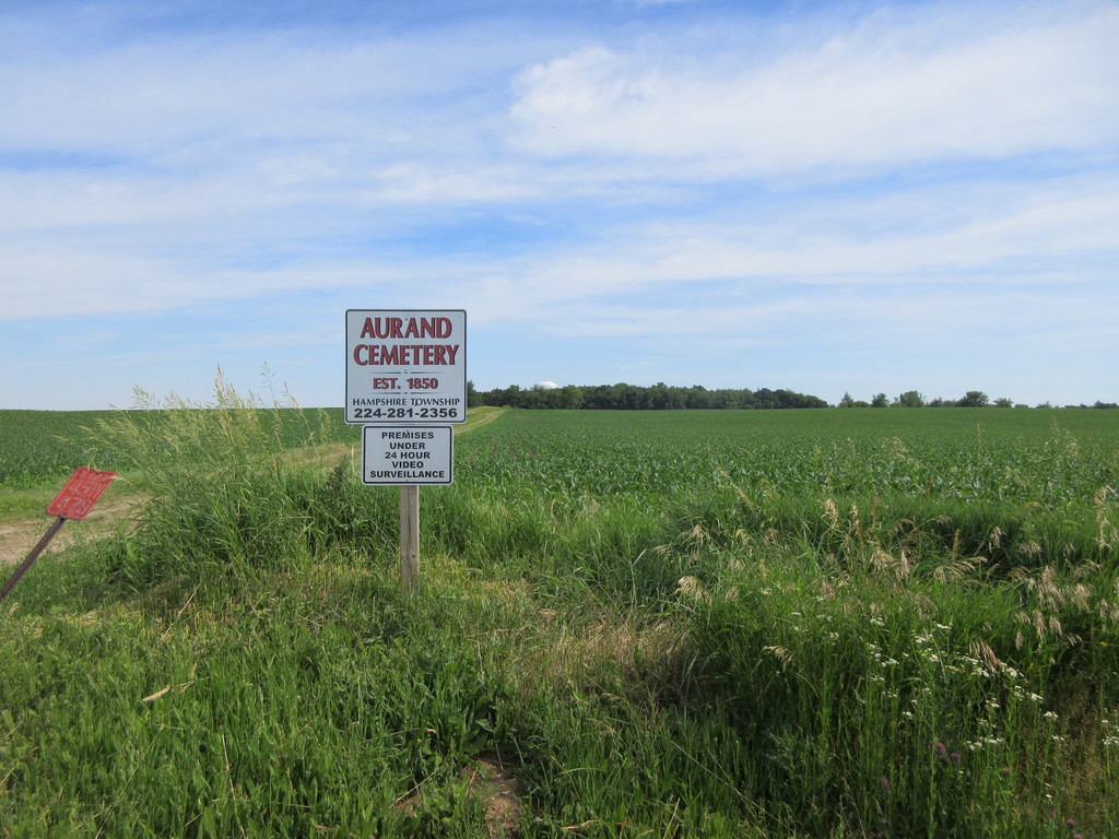
Located north of Kelley Road .5 mile west of Ketchum Road. To get to it follow a farm lane north from Kelley Road through some abandoned farm buildings, and continue on into the area of the cemetery. This was a cemetery formerly next to an old road and a German Evangelical Church whose membership had come to the area from Ohio. By 1975 the cemetery was reduced to two piles of stones. In the spring of 1976 John Hermann set the old stones in cement into two neat rows to serve as a memorial for the old German settlers. The grounds are much more expansive than the area the memorial sits on, and depressions where old graves were remain in evidence. The earliest noted interment is 1850.
Bring Bug spray to this cemetery.
Nearby cemeteries

Hampshire, Kane County, Illinois, USA
- Total memorials222
- Percent photographed86%
- Percent with GPS22%

Hampshire, Kane County, Illinois, USA
- Total memorials2k+
- Percent photographed91%
- Percent with GPS1%

Hampshire, Kane County, Illinois, USA
- Total memorials1k+
- Percent photographed95%
- Percent with GPS1%

Starks, Kane County, Illinois, USA
- Total memorials70
- Percent photographed86%
- Percent with GPS6%
- Added: 16 Sep 2005
- Find a Grave Cemetery ID: 2153620

Cemetery Photos
This is a carousel with slides. Use Next and Previous buttons to navigate, or jump to a slide with the slide dots. Use Escape keyboard button or the Close button to close the carousel.


Success
Uploading...
Waiting...
Failed
This photo was not uploaded because this cemetery already has 20 photos
This photo was not uploaded because you have already uploaded 5 photos to this cemetery
This photo was not uploaded because you have already uploaded 5 photos to this cemetery
Invalid File Type
Birth and death years unknown.
1 photo picked...
2 photos picked...
Uploading 1 Photo
Uploading 2 Photos
1 Photo Uploaded
2 Photos Uploaded
Size exceeded
Too many photos have been uploaded
"Unsupported file type"
• ##count## of 0 memorials with GPS displayed. Double click on map to view more.No cemeteries found