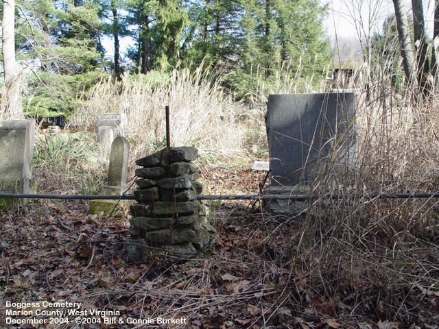
Boggess Cemetery
Zenith, Monroe County, West Virginia, USA
Driving directions from Union, West Virginia are: 1) Drive South East 8.7 miles on West Virginia State Route 3 East. 2) Turn Right onto County Road 15 (Gap Mills / Zenith Road) and drive 4.7 miles to County Road 29 (Zenith Road). 3) Keep Right onto CR 29 / Zenith Road and drive 2.6 miles to Maple Road (marked by a small Green metal Street sigh). 4) Turn Left onto Maple Road and drive .6 miles to first farm house on right. The cemetery is located about 1200 yards West South West of the farm house through a pasture. It sets in a small grove of trees and is fence. Note: The Cemetery is difficult to find even after locating the farm house and is not visible from the farm house. The original access to the grave yard was via a wagon road, now abandoned, located on the West side of the cemetery.
Driving directions from Union, West Virginia are: 1) Drive South East 8.7 miles on West Virginia State Route 3 East. 2) Turn Right onto County Road 15 (Gap Mills / Zenith Road) and drive 4.7 miles to County Road 29 (Zenith Road). 3) Keep Right onto CR 29 / Zenith Road and drive 2.6 miles to Maple Road (marked by a small Green metal Street sigh). 4) Turn Left onto Maple Road and drive .6 miles to first farm house on right. The cemetery is located about 1200 yards West South West of the farm house through a pasture. It sets in a small grove of trees and is fence. Note: The Cemetery is difficult to find even after locating the farm house and is not visible from the farm house. The original access to the grave yard was via a wagon road, now abandoned, located on the West side of the cemetery.
Nearby cemeteries
Zenith, Monroe County, West Virginia, USA
- Total memorials2
- Percent photographed0%
Zenith, Monroe County, West Virginia, USA
- Total memorials1
- Percent photographed100%

Zenith, Monroe County, West Virginia, USA
- Total memorials116
- Percent photographed61%
- Percent with GPS0%

Zenith, Monroe County, West Virginia, USA
- Total memorials57
- Percent photographed47%
- Percent with GPS0%
- Added: 5 Jul 2000
- Find a Grave Cemetery ID: 166475

Cemetery Photos
This is a carousel with slides. Use Next and Previous buttons to navigate, or jump to a slide with the slide dots. Use Escape keyboard button or the Close button to close the carousel.
Success
Uploading...
Waiting...
Failed
This photo was not uploaded because this cemetery already has 20 photos
This photo was not uploaded because you have already uploaded 5 photos to this cemetery
This photo was not uploaded because you have already uploaded 5 photos to this cemetery
Invalid File Type
Birth and death years unknown.
1 photo picked...
2 photos picked...
Uploading 1 Photo
Uploading 2 Photos
1 Photo Uploaded
2 Photos Uploaded
Size exceeded
Too many photos have been uploaded
"Unsupported file type"
• ##count## of 0 memorials with GPS displayed. Double click on map to view more.No cemeteries found