B'nay Abraham Cemetery
Also known as B'nay Abraham Jewish Cemetery , Riverside Cemetery
West Saint Paul, Selkirk Census Division, Manitoba, Canada
About
-
Get directions 4639 Main Street (aka Provincial Highway 9)
RM of West Saint Paul, Manitoba
R4A 3A4 CanadaCoordinates: 50.01317, -97.05118 - www.jhcwc.org/search-the-archives/
- [email protected]
- +1-204-589-6305
-
Office Address
Congregation Etz Chayim
1155 Wilkes Avenue
Fort Garry, Greater Winnipeg, Manitoba
R3P 1B9 Canada - Cemetery ID:
-
Additional information
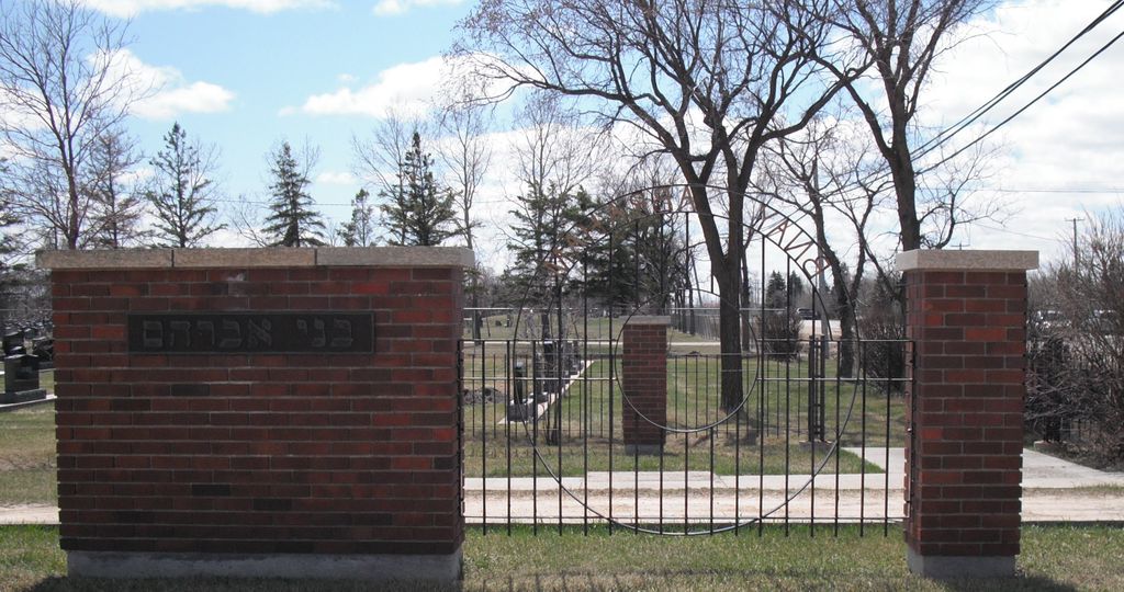
Located on the east side of Main Street (aka Provincial Highway 9), this cemetery is the most northern-most of the four adjoining cemeteries established on the land that was once known as Riverside Cemetery
A network of roadways provides vehicular access to the grounds.
NOTE: The cemetery is open only from April 1 to October 31
Burial records can be consulted by reaching out to the Congregation's staff.
Members have Contributed
Advertisement
Photos


The Congregation Etz Chayim manages the cemetery [2023/10].
1908 to 1912 was a period of great expansion in Manitoba. Land values doubled, as real estate agents and speculators bought property hoping to make a quick return.
In 1912 River Lots 38 to 44 were owned by Drewery and Bannerman Real Estate Co. The 1913 municipal records list a certain R J Bateman of London, England as owner, we believe he sold to a Mr Kennedy. The Kennedys lived in St. Andrew's Municipality, Lot 1, which is on the north side of Parks Creek, and were quite prosperous.
It was Mr. Kennedy who began the business of Riverside Cemetery. A mausoleum was built by him.
At that time cemeteries were exempt from municipal taxation. This irked the local council, who took the matter to court, and won — partly! The court ruled that a minimum of twenty acres could be owned by a church and would qualify for exemption from municipal taxation.
Riverside Cemetery owners then had the land subdivided and over the years sold it to various religious groups. If part of their land was used for agricultural purposes it could then be taxed.
(Source: The Changing Scene - A History of West St. Paul, p 85 [circa 1989; Adapted])
The first burial occurred in 1921. (i.e., Sarah Benstein)
(Source: Manitoba Historical Society [Adapted])
Dominion Land Survey coordinates: LSD09-13-12-03-E1
In the Rural Municipality of West St Paul
While not focused on the Jewish community from this area and beyond, a part of the area's story and those of its inhabitants from the early days of European settlement through roughly 1989 is told in the volume "The Changing Scene - A History of West St. Paul". A free digital version of this and many other Manitoba local history books can be found online in the University of Manitoba Digital Collections. There is also a list of such books organized by district and town name on the Manitoba Historical Society's website on their page entitled "Finding Aid: Manitoba Local History Books".
A list of burials in this cemetery is available from the Manitoba Genealogical Society (reference #1181), transcribed by a member or members in 1996. Also available to MGS members is a searchable online database named the "MGS Manitoba Name Index" (or MANI). Some additional information may be contained in the 1996 MGS publication "Carved in Stone: Manitoba Cemeteries and Burial Sites" (revised edition, Special Projects Publication, 106 pages).
Additionally, the non-profit Jewish Heritage Centre of Western Canada centralizes, curates and makes available extensive records from various groups related to the communities established by the families of their faith who contributed to the story of Western Canada.
Nearby cemeteries

West Saint Paul, Selkirk Census Division, Manitoba, Canada
- Total memorials10k+
- Percent photographed88%
- Percent with GPS51%

West Saint Paul, Selkirk Census Division, Manitoba, Canada
- Total memorials10k+
- Percent photographed90%
- Percent with GPS76%

West Saint Paul, Selkirk Census Division, Manitoba, Canada
- Total memorials5k+
- Percent photographed95%
- Percent with GPS93%

West Saint Paul, Selkirk Census Division, Manitoba, Canada
- Total memorials2k+
- Percent photographed20%
- Percent with GPS16%
- Added: 14 Dec 2006
- Find a Grave Cemetery ID: 2199953

Cemetery Photos
This is a carousel with slides. Use Next and Previous buttons to navigate, or jump to a slide with the slide dots. Use Escape keyboard button or the Close button to close the carousel.


Success
Uploading...
Waiting...
Failed
This photo was not uploaded because this cemetery already has 20 photos
This photo was not uploaded because you have already uploaded 5 photos to this cemetery
This photo was not uploaded because you have already uploaded 5 photos to this cemetery
Invalid File Type
Birth and death years unknown.
1 photo picked...
2 photos picked...
Uploading 1 Photo
Uploading 2 Photos
1 Photo Uploaded
2 Photos Uploaded
Size exceeded
Too many photos have been uploaded
"Unsupported file type"
• ##count## of 0 memorials with GPS displayed. Double click on map to view more.No cemeteries found