Wilcox Cemetery
Genoa, Cayuga County, New York, USA
About
-
- Cemetery ID:
Members have Contributed
Advertisement
Photos


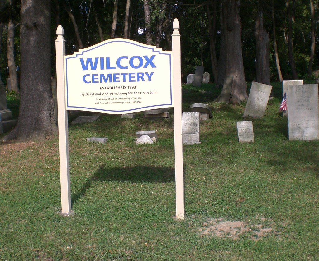
After the property was sold to Wilcox, c. 1828, its use was expanded and was renamed. The Cemetery is specified in the deed as one acre but is actually 0.6 acres.
Many of the early slate stones are gone or unreadable. Some gravestones were damaged by vandals c. 1955 and by farm animals over the years.
More details may be found in "Genealogical Memoirs of the Allen Family in America".
Consumer GPS devices are only precise to about 300 feet (100 meters) without a locator beacon or a military GPS device. The Wilcox cemetery is only 194.25 ft wide and 135.38 ft deep. Furthermore, the cemetery is in such bad shape and missing so many markers that the central lane and the 11 or 13 rows are difficult to discern (especially toward the back fence). Therefore, some plot descriptions include the distance from the (N)orth and (S)outh concrete milestone markers which located in the front corners of the cemetery, along the RT 34. The headstone location is measured in meters. With the end of a tape measure is pinned at the milestone, the location of the grave is where the (N) and (S) tapes measures intersect. This more precisely preserves the actual location. (Think of standing on RT 34, as the bottom of a triangle, and the tape measures are the remaining two sides with lengths (N) (left side) and (S) (right side) meters.)
Nearby cemeteries

Lansing, Tompkins County, New York, USA
- Total memorials154
- Percent photographed84%
- Percent with GPS4%

North Lansing, Tompkins County, New York, USA
- Total memorials1k+
- Percent photographed70%
- Percent with GPS2%

Locke, Cayuga County, New York, USA
- Total memorials13
- Percent photographed92%
- Percent with GPS0%

Lansing, Tompkins County, New York, USA
- Total memorials23
- Percent photographed43%
- Percent with GPS0%
- Added: 30 Jun 2011
- Find a Grave Cemetery ID: 2408300

Cemetery Photos
This is a carousel with slides. Use Next and Previous buttons to navigate, or jump to a slide with the slide dots. Use Escape keyboard button or the Close button to close the carousel.


Success
Uploading...
Waiting...
Failed
This photo was not uploaded because this cemetery already has 20 photos
This photo was not uploaded because you have already uploaded 5 photos to this cemetery
This photo was not uploaded because you have already uploaded 5 photos to this cemetery
Invalid File Type
Birth and death years unknown.
1 photo picked...
2 photos picked...
Uploading 1 Photo
Uploading 2 Photos
1 Photo Uploaded
2 Photos Uploaded
Size exceeded
Too many photos have been uploaded
"Unsupported file type"
• ##count## of 0 memorials with GPS displayed. Double click on map to view more.No cemeteries found