Bill McMillan-James Roberts Cemetery
Vancleave, Jackson County, Mississippi, USA
About
-
Get directions 'Mount Pleasant' area in Sec 12 T6 R7
Vancleave, Mississippi, USACoordinates: 30.53846, -88.63989 - Cemetery ID:
Members have Contributed
Advertisement
Photos

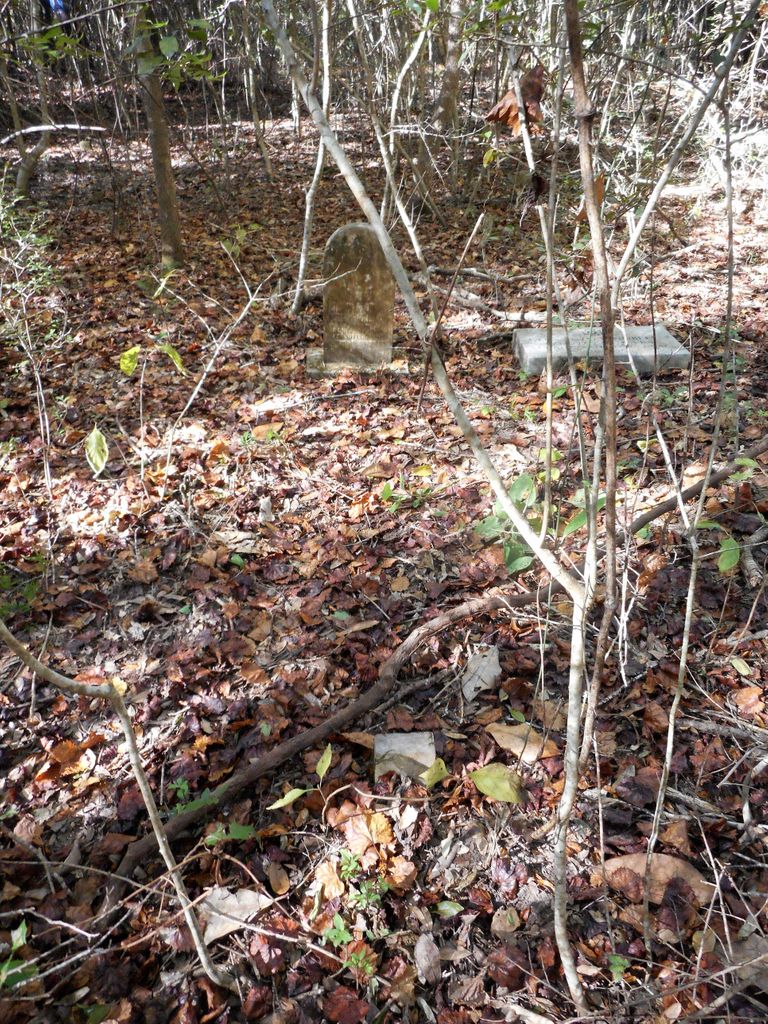
The abandoned OLD HISTORIC BILL MACK/JAMES ROBERTS CEMETERY is located approximately one mile east of Mt Pleasant Road off Holder Rd/originally Roberts Rd in the woods on fenced private property in Vancleave. At one time an old road passed near the community cemetery, a store/school (Union School House) was nearby also. In the south-end was a fenced area with mostly Carters.
Oldest known burial is Louise Roberts Havens 1878.
The cemetery heavily overgrown. The majority of the graves are unmarked or destroyed by time with no up-keep.
Names over the years include; Community Cemetery, Lockard Cemetery, Bill Mack-James Roberts Cemetery.
Permission is needed to visit the cemetery.
Nearby cemeteries

Vancleave, Jackson County, Mississippi, USA
- Total memorials286
- Percent photographed96%
- Percent with GPS0%

Vancleave, Jackson County, Mississippi, USA
- Total memorials34
- Percent photographed35%
- Percent with GPS0%

Vancleave, Jackson County, Mississippi, USA
- Total memorials336
- Percent photographed97%
- Percent with GPS0%

Vancleave, Jackson County, Mississippi, USA
- Total memorials3
- Percent photographed33%
- Percent with GPS0%
- Added: 14 Apr 2008
- Find a Grave Cemetery ID: 2257250

Cemetery Photos
This is a carousel with slides. Use Next and Previous buttons to navigate, or jump to a slide with the slide dots. Use Escape keyboard button or the Close button to close the carousel.

Success
Uploading...
Waiting...
Failed
This photo was not uploaded because this cemetery already has 20 photos
This photo was not uploaded because you have already uploaded 5 photos to this cemetery
This photo was not uploaded because you have already uploaded 5 photos to this cemetery
Invalid File Type
Birth and death years unknown.
1 photo picked...
2 photos picked...
Uploading 1 Photo
Uploading 2 Photos
1 Photo Uploaded
2 Photos Uploaded
Size exceeded
Too many photos have been uploaded
"Unsupported file type"
• ##count## of 0 memorials with GPS displayed. Double click on map to view more.No cemeteries found