Cedar Grove Cemetery
Satin, Falls County, Texas, USA
About
-
- Cemetery ID:
Members have Contributed
Advertisement
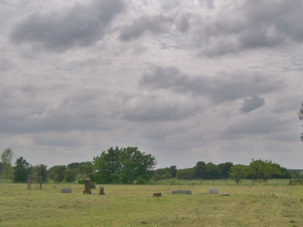
Photos


Directions:
From Waco Travel South on Hwy 77 until you reach Golinda Texas and see the FM 2839 where you will turn left (east). Proceed until you see FM 434 where you will turn right (South). Proceed until you reach the community of Satin and you will turn left on CR 418. You will pass the beautiful new church building but continue driving east. When you see the landmark feed tanks you will have arrived at the locked gates. PLEASE DO NOT ENTER THIS PRIVATE PROPERTY WITHOUT PERMISSION. Cows are loose in the field. You will drive thru three sets of gates before seeing the cemetery sign in the back right corner of the field. The cemetery gate is not locked.
Historical Marker:
Newly emancipated blacks assembled on August 20, 1865, to form a congregation at Col. Ruben Buhl's plantation on the Brazos River (2 1/2 Mi. NE). The sixteen charter members named their fellowship Buhl's Quarters Baptist Church and met in a log cabin with the Rev. Joe Moore as their first pastor. The Brazos River area often flooded, and in 1885 the congregation moved one mile west to higher ground donated by Col. Edward J. Gurley. The frame building there was named Rock Dam Baptist Church after the new site. According to local tradition, members were called to regular and special services by a bugle blown by brother Mose Wells. In 1890 Col. Gurley gave the church a bell that announced activity at the site. In that year the church listed almost 100 members, and the name was changed to Cedar Grove Baptist Church after the venerable trees shading the sanctuary. By 1924 membership had grown to 250, due primarily to the influx of sharecroppers on the surrounding farmland. By the early 1940s, however, land around the church was being stripped for gravel beds. In 1945 the congregation acquired this site in Satin and built a new church in 1946 under the leadership of the Rev. Hogan Guy, still using the 1890 bell.
Nearby cemeteries

Golinda, Falls County, Texas, USA
- Total memorials25
- Percent photographed92%
- Percent with GPS0%

McLennan County, Texas, USA
- Total memorials10
- Percent photographed100%
- Percent with GPS70%

Waco, McLennan County, Texas, USA
- Total memorials393
- Percent photographed52%
- Percent with GPS15%

Lorena, McLennan County, Texas, USA
- Total memorials7
- Percent photographed0%
- Percent with GPS0%
- Added: 10 Aug 2006
- Find a Grave Cemetery ID: 2185301

Cemetery Photos
This is a carousel with slides. Use Next and Previous buttons to navigate, or jump to a slide with the slide dots. Use Escape keyboard button or the Close button to close the carousel.


Success
Uploading...
Waiting...
Failed
This photo was not uploaded because this cemetery already has 20 photos
This photo was not uploaded because you have already uploaded 5 photos to this cemetery
This photo was not uploaded because you have already uploaded 5 photos to this cemetery
Invalid File Type
Birth and death years unknown.
1 photo picked...
2 photos picked...
Uploading 1 Photo
Uploading 2 Photos
1 Photo Uploaded
2 Photos Uploaded
Size exceeded
Too many photos have been uploaded
"Unsupported file type"
• ##count## of 0 memorials with GPS displayed. Double click on map to view more.No cemeteries found