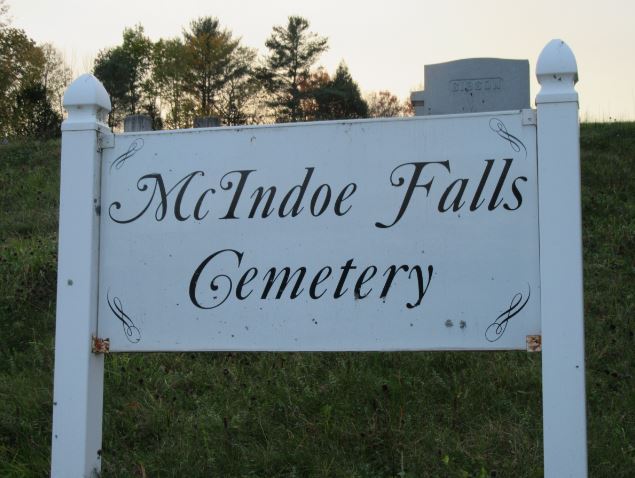
McIndoe Falls Cemetery
Also known as McIndoes Falls Cemetery
Barnet, Caledonia County, Vermont, USA
About
-
Get directions at the corner of Garland Hill and Symes Pond Roads
Barnet, Vermont, USACoordinates: 44.26854, -72.07249 - Cemetery ID:
Members have Contributed
Advertisement
Photos


All 811 existant inscriptions in this cemetery were transcribed (and a couple dozen no-longer-marked graves marked on the plot map) by Wally Wallace in the summer of 2002. These memorials were downloaded from his website and submitted to findagrave, in abridged forms, by others.
The first burials in McIndoes village were in an enclosure roughly behind the (now closed) village grade school. When the railroad was built, a deep cut was made just back of this enclosure, which prevented any expansion. Land was bought just west of where Interstate Highway 91 would later be built and most of the bodies were moved there during the early years of the Civil War. There still remain the dust of a number of persons in the old location whose names and locations are not known and, occasionally, gravestone remnants still surface there to interfere with spring haying.
Until 2002, the Town's (and Sexton's) records of burials at the new location contained less than 30% of the burials recorded on gravestones, the 2002 transcription project corrected the omissions to the extent permitted by existent gravestones and burial records.
F.L.T. indicates a Rebekahs/Odd Fellows membership flag holder.
Row # Stone #s refer to location numbers on the cemetery map, lower-case letters after Stone # indicate stone location within the lot, as read left to right (to assist in proving relationships), omitted letters are plots without stones.
Compilation completed: Jul 30, 2002 by personal inspection of gravestones, supplemented, in the notes/bio fields by data from the sexton's files and the public vital record. An outdated plot map previously existed, this was brought current from cemetery records and on-the-ground measurements.
Two Gravestone remnants from the previous location of this cemetery are also listed, making this the most complete listing for this village's dead that can be compiled today.
Nearby cemeteries

Monroe, Grafton County, New Hampshire, USA
- Total memorials764
- Percent photographed91%
- Percent with GPS4%

Barnet, Caledonia County, Vermont, USA
- Total memorials151
- Percent photographed97%
- Percent with GPS3%

Barnet, Caledonia County, Vermont, USA
- Total memorials1k+
- Percent photographed88%
- Percent with GPS0%

Barnet, Caledonia County, Vermont, USA
- Total memorials1k+
- Percent photographed86%
- Percent with GPS4%
- Added: 5 Jul 2004
- Find a Grave Cemetery ID: 1987616

Cemetery Photos
This is a carousel with slides. Use Next and Previous buttons to navigate, or jump to a slide with the slide dots. Use Escape keyboard button or the Close button to close the carousel.


Success
Uploading...
Waiting...
Failed
This photo was not uploaded because this cemetery already has 20 photos
This photo was not uploaded because you have already uploaded 5 photos to this cemetery
This photo was not uploaded because you have already uploaded 5 photos to this cemetery
Invalid File Type
Birth and death years unknown.
1 photo picked...
2 photos picked...
Uploading 1 Photo
Uploading 2 Photos
1 Photo Uploaded
2 Photos Uploaded
Size exceeded
Too many photos have been uploaded
"Unsupported file type"
• ##count## of 0 memorials with GPS displayed. Double click on map to view more.No cemeteries found